
34
documented records
≈ 110–210
approx. capacity (graves)
5,280 m²
cemetery area
Nov 5, 2026
last modified
About this cemetery
Blære Kirkegård is the churchyard of Blære Church, in the village of Blære about seven kilometres north of Aars. The nave and chancel of the church are Romanesque, built of granite ashlars. The tower was blown down on 27 February 1869 and its upper part was later rebuilt in masonry with a lead cap.
Cemetery location
GPS coordinates: 56.865936° N, 9.511946° E Directions in Google Maps (opens in a new tab)
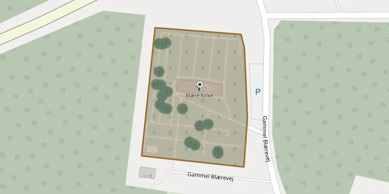
Memorials
34 memorials, A–Z by surname.
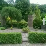 Petrine Andersen 1855 – 1933
- Anton Christiansen 1841 – 1926
 Else Haldrup 1892 – 1978
- Holger Haldrup 1897 – 1970
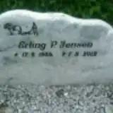 Erling Jensen 1934 – 2012
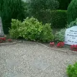 Frederik Jensen 1900 – 1987
- Maria Jensen 1899 – 1960
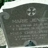 Marie Jensen 1850 – 1938
- Mads Larsen 1869 – 1947
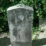 Ane Madsen 1826 – 1907
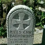 Inger Naundrup 1880 – 1955
- Niels Naundrup 1881 – 1918
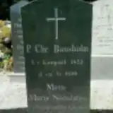 Mette Nielsdatter 1825 – 1901
 Agnes Nielsen 1912 – 1997
- Dorthea Nielsen 1863 – 1923
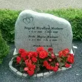 Frits Nielsen 1925 – 2006
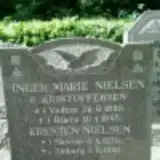 Inger Nielsen 1880 – 1945
- Ingrid Nielsen 1928 – 2006
- Knud Nielsen 1878 – 1919
- Kresten Nielsen 1879 – 1946
 Lisbet Nielsen 1959 – 1965
- Marie Nielsen 1877 – 1939
- Marinus Nielsen 1867 – 1960
 Kristine Nørgaard 1883 – 1973
- Lis Nørgaard 1909 – 1989
- Mads Nørgaard 1883 – 1937
- Tinne Nørgaard 1912 – 1983
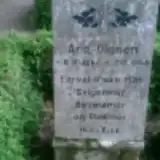 Ane Olesen 1866 – 1945
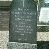 Jens Pedersen 1807 – 1871
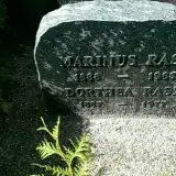 Dorthea Rask 1887 – 1977
- Marinus Rask 1888 – 1965
 Karen Sommer 1892 – 1956
- Kristen Sommer 1885 – 1976
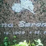 Anna Sørensen 1909 – 1983
Looking for someone who isn't listed? Request a photo.
Nearby cemeteries
The closest other burial grounds listed on EveryStone.
- Ejdrup Kirkegaard 3.0 km away · Nibe · 17 records
- Gundersted Churchyard 4.6 km away · Nibe · 17 records
- Skivum Kirkegaard 4.7 km away · Nibe · 50 records
- Giver Churchyard 5.9 km away · Års · 5 records
- Blåbærdalen Churchyard 6.1 km away · Aars
- Søttrup Free Congregation Churchyard 6.1 km away · Års · 15 records
- Ulstrup Kirkegaard 6.4 km away · Års · 256 records
- Aars Churchyard 6.8 km away · Års · 236 records
- Skørping Cemetery 6.8 km away · Aars
- Store Ajstrup Churchyard 8.9 km away · Store Ajstrup · 15 records
Contribute with the app
Our website works smoothly on both desktop and mobile devices. Prefer a native app? Check it out below.
- Capture clear headstone photos
- Save GPS grave locations automatically
- Transcribe inscriptions with our AI
- Suggest corrections to existing records
Common questions
How big is Blære Churchyard?
Blære Churchyard covers about 5,280 m² (1.3 acres), about half the size of a soccer field. It is the 159th smallest of the 399 cemeteries we list in North Denmark Region.
What is the oldest grave in this cemetery?
The oldest grave among the records we hold for Blære Churchyard is that of Jens Pedersen, who died on January 25, 1871 at the age of 64.