
248
documented records
≈ 660–1,300
approx. capacity (graves)
0.033 km²
cemetery area
Nov 17, 2026
last modified
About this cemetery
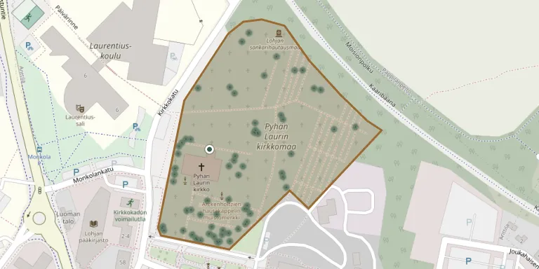
This churchyard lies in the centre of Lohja, directly around the Church of St Lawrence, which was built in the late 1400s. The burial ground grew up around the church and is managed by the Lohja parish.
Cemetery location
GPS: GPS coordinates: 60.253342° N, 24.068001° E Directions in Google Maps (opens in a new tab)
Memorials
Showing the first 50 of 248, A–Z by last name. Search all records
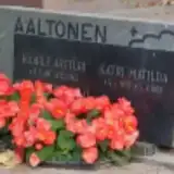 Kaarle Aaltonen 1897 – 1943
- Katri Aaltonen 1905 – 1988
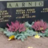 Elsa Aarnio 1902 – 1993
- Heikki Aarnio 1922 – 1997
- Karin Aarnio 1924 – 2010
- Kustaa Aarnio 1874 – 1939
- Kyösti Aarnio 1929 – 2016
 August Alin 1874 – 1938
 Hilja Aro 1887 – 1968
- Johan Aro 1885 – 1944
- Martti Aro 1911 – 1980
- Matti Aro 1942 – 2018
 Bruno Arvid 1899 – 1947
 Agda Askola 1887 – 1970
- Eeva Askola 1904 – 2000
- Helmi Askola 1889 – 1911
- Tytti Askola 1917 – 2017
- Väinö Askola 1894 – 1967
- Zaida Askola 1891 – 1959
- Aleksandra Askolin 1855 – 1939
- Gustaf Askolin 1842 – 1924
 Aina Åström 1897 – 1948
 Erkki Åström 1926 – 2010
 Feliks Åström 1897 – 1972
 Mauri Åström 1935 – 2010
 Väinö Åström 1939 – 2005
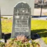 Eva Dammert 1818 – 1885
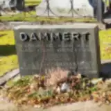 Hilkka Dammert 1935 – 2004
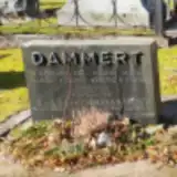 Hilkka Dammert 1910 – 2003
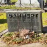 Johanna Dammert 1968 – 1968
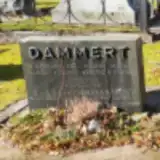 Juha Dammert 1935 – 1998
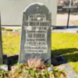 Karl Dammert 1820 – 1868
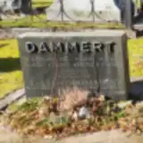 Vilhelm Dammert 1907 – 1967
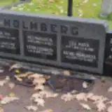 Anni Danielsson 1905 – 1968
- Rolf Danielsson 1927 – 2018
 Gustaava Eklund 1855 – 1925
- Karl Eklund 1861 – 1913
 Frans Fagerholm 1899 – 1976
- Martta Fagerholm 1905 – 1980
- Pauli Fagerholm 1929 – 1932
- Veijo Fagerholm 1933 – 1977
 Bertel Fagerström 1898 – 1977
- Helge Fagerström 1923 – 1967
- Israel Fagerström 1826 – 1883
- Jaakko Fagerström 1921 – 1952
- Karl Fagerström 1949 – 2016
- Karl Fagerström 1866 – 1929
- Pirkko-Liisa Fagerström 1926 – 2015
- Saara Fagerström 1903 – 1970
- Therese Fagerström 1862 – 1931
Looking for someone who isn't listed? Request a photo.
Nearby cemeteries
The closest other burial grounds listed on EveryStone.
- Lohja Heroes' Cemetery 130 m away · Lohja · 12 records
- Lohja Orthodox Cemetery 1.4 km away · Lohja
- Metsola Cemetery 1.5 km away · Lohja · 119 records
- Virkkala Cemetery 8.5 km away · Lohja · 8 records
- Lohja Heroes' Cemetery 8.7 km away · Lohja
- Svidja Slotts Gravgård 10 km away · Siuntio kk
- Siuntio Heroes' Cemetery 11 km away · Kalans · 6 records
- Siuntio Cemetery 11 km away · Siuntio · 24 records
- Sammatti Heroes' Cemetery 15 km away · Sammatti · 3 records
- Sammatti Cemetery 15 km away · Lohja · 14 records
Contribute with the app
Our website works smoothly on both desktop and mobile devices. Prefer a native app? Check it out below.
- Capture clear headstone photos
- Save GPS grave locations automatically
- Transcribe inscriptions with our AI
- Suggest corrections to existing records
Common questions
How big is Lohja Pyhän Laurin kirkkomaa?
Lohja Pyhän Laurin kirkkomaa covers about 33,000 m² (8.1 acres), about the size of 5 soccer fields. It is the 30th largest of the 147 cemeteries we list in Uusimaa.
What is the oldest grave in this cemetery?
The oldest grave among the records we hold for Lohja Pyhän Laurin kirkkomaa is that of Maria Sofia Rosina Helsingius, who died on March 2, 1863 at the age of 39.