
Cemetery #6697
Kalevankangas Cemetery, Tampere
Local name: Kalevankankaan hautausmaa, Tampere
Also known as Kalevankankaan hautausmaa · Kalevankangas Cemetery · Kalevankangas
269
documented records
≈ 3,400–6,800
approx. capacity (graves)
0.170 km²
cemetery area
Nov 6, 2026
last modified
About this cemetery
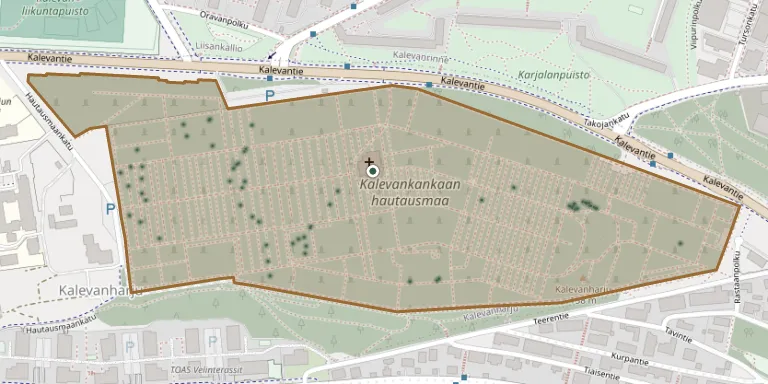
Kalevankangas Cemetery was founded on 25 July 1880 and covers about 17 hectares on the Kalevankangas ridge, east of the University of Tampere. Fierce fighting took place on the site on 28 March 1918 during the capture of Tampere in the Finnish Civil War. It is one of seven cemeteries maintained by the Tampere parishes.
Cemetery location
GPS coordinates: 61.494011° N, 23.794313° E Directions in Google Maps (opens in a new tab)
Memorials
Showing the first 50 of 269, A–Z by surname. Search all records
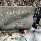 Ritva Aaltonen 1936 – 2014
- Sivia Aaltonen 1910 – 1986
- Yrjö Aaltonen 1910 – 1954
 Elsa Aarni 1890 – 1989
- Lea Aarni 1916 – 1994
- Matleena Aarni 1964 – 2003
 Wilhelmina Ahlqvist 1843 – 1899
 Katri Ahoniemi 1921 – 2020
 Viljo Ainiala 1926 – 2001
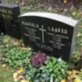 Tarvo Antila 1959 – 2009
 Helvi Anttila 1923 – 2016
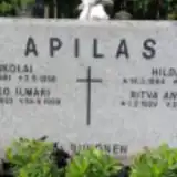 Hilda Apilas 1894 – 1978
- Mikko Apilas 1923 – 1999
- Nikolai Apilas 1891 – 1958
- Ritva Apilas 1929 – 2011
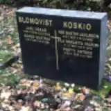 Agnes Blomqvist 1881 – 1956
- Jarl Blomqvist 1878 – 1936
 Anna Corander 1860 – 1926
- Wäinö Corander 1871 – 1930
 August Elonen 1898 – 1980
- Hilda Elonen 1889 – 1959
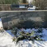 Juhani Erva 1925 – 2000
 Kauko Eskelinen 1920 – 2012
 Matti Eskola 1921 – 2006
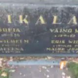 Marita Hajek 1947 – 2015
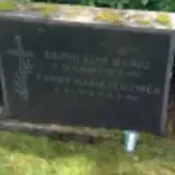 Sigrid Harju 1880 – 1961
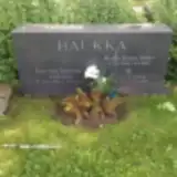 Aune Haukka 1904 – 1957
- Hannu Haukka 1898 – 1944
- Heikki Haukka 1928 – 2015
 Arma Heiniö 1925 – 2007
 Anni Heino 1919 – 2010
 Alpo Heinonen 1925 – 1995
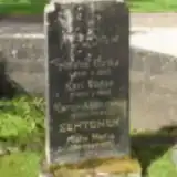 Helena Heldan 1818 – 1883
- Karl Heldan 1855 – 1882
- Karolina Heldan 1853 – 1943
 Kalle Helen 1844 – 1923
- Maria Helén 1858 – 1933
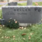 Irja Hellen 1927 – 1995
 Anna Hellgren 1827 – 1903
 Heimo Hellsten 1926 – 2009
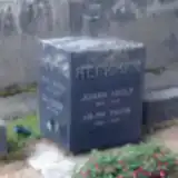 Hilma Herkman 1860 – 1908
- Johan Herkman 1859 – 1942
- Auvikki Herva 1932 – 2017
- Filemon Herva 1889 – 1966
- Helmi Herva 1895 – 1980
 Herri Hietula 1914 – 2011
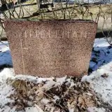 Eva Hjellman 1893 – 1968
- Sulho Hyvönen 1922 – 2011
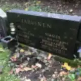 Erkki Järkäs 1923 – 1987
- Sirkka Järvenpää 1918 – 2007
Looking for someone who isn't listed? Request a photo.
Nearby cemeteries
The closest other burial grounds listed on EveryStone.
- Sankarihauta 260 m away · Tampere · 71 records
- Messukylä Churchyard 3.1 km away · Tampere · 111 records
- Tampere Urn Cemetery 3.3 km away · Tampere
- Nottbeck Cemetery and Chapel, Tampere 6.7 km away · Tampere
- Harju Cemetery 7.4 km away · Tampere
- Aitolahti Cemetery 7.7 km away · Tampere · 8 records
- Vatiala Cemetery 9.5 km away · Kangasala · 2 records
- Lamminpää Cemetery 9.6 km away · Tampere · 154 records
- Tampere Heroes' Cemetery 9.6 km away · Tampere
- Pitkäniemi Mental Hospital Cemetery 12 km away · Nokia
Contribute with the app
Our website works smoothly on both desktop and mobile devices. Prefer a native app? Check it out below.
- Capture clear headstone photos
- Save GPS grave locations automatically
- Transcribe inscriptions with our AI
- Suggest corrections to existing records
Common questions
How big is Kalevankangas Cemetery, Tampere?
Kalevankangas Cemetery, Tampere covers about 17 hectares (170,000 m²), about the same size as Brompton Cemetery in London. It is the 2nd largest of the 104 cemeteries we list in Pirkanmaa.
What is the oldest grave in this cemetery?
The oldest grave among the records we hold for Kalevankangas Cemetery, Tampere is that of Karl Viktor Heldan, who died in 1882 at the age of 27.