
Cemetery #670348
Hnojník Cemetery
Local name: Hřbitov Hnojník
Also known as Evangelický hřbitov v Hnojníku
48
documented records
≈ 57–110
approx. capacity (graves)
2,860 m²
cemetery area
Nov 5, 2026
last modified
About this cemetery
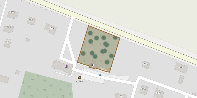
The Evangelical cemetery in Hnojník, founded in 1883, lies beside road I/68 and covers 2,890 square metres, not counting the plots with the chapel and sanitary facilities. The cemetery belongs to the municipality of Hnojník, while the chapel and facilities are owned by the Silesian Evangelical parish in Komorní Lhotka. Hnojník also has a separate Catholic cemetery by the Church of the Assumption of the Virgin Mary.
Cemetery location
GPS coordinates: 49.684534° N, 18.530877° E Directions in Google Maps (opens in a new tab)
Memorials
48 memorials, A–Z by surname.
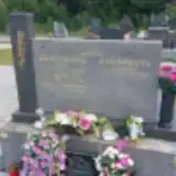 Adolf Braclík 1910 – 1988
- Eva Braclíková 1912 – 1985
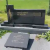 Oldřich Brzokoupil 1921 – 2010
- Vladislava Brzokoupilová 1934 – 2010
- Helena Bubik 1900 – 1983
- Józef Bubik 1889 – 1974
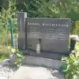 Anna Bystrická 1895 – 1978
- Dagmar Bystrická 1935 – 2005
- Pavel Bystrický 1890 – 1974
- Rudolf Bystřický 1929 – 2001
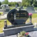 Marie Caletková 1954 – 2022
- Pavlína Caletková 1977 – 2002
- Anděla Chodurová 1935 – 2019
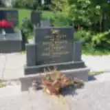 Jiřina Chovancová 1930 – 2018
- Jan Chovanec 1924 – 2002
 Karel Gnida 1890 – 1967
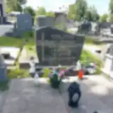 Helena Horňačková 1938 – 2003
- Jan Kędzior 1936 – 2001
- Zdenka Kędziorová 1944 – 2019
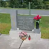 Rudolf Molin 1928 – 1990
- Jana Molotová 1956 – 2007
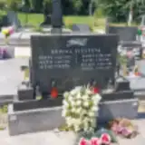 Helena Niemczyková 1932 – 2001
- Marie Niemczyková 1887 – 1965
- Josef Nosek 1889 – 1969
- Marie Nosková 1885 – 1979
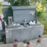 Jiří Pekar 1956 – 1980
- Zdenka Podraská 1955 – 2013
- Miroslav Podraský 1949 – 2001
- Karel Šigut 1908 – 1925
- Pavel Šigut 1884 – 1936
- Pavel Šigut 1912 – 1918
- Pavel Šigut 1922 – 2009
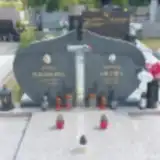 Pawel Sikora 1931 – 2015
- Anna Sikorowa 1942 – 2011
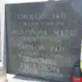 Jan Smoloň 1947 – 2019
- Jan Smoloň 1897 – 1959
- Drahomíra Smoloňová 1951 – 2024
- Marie Smoloňová 1902 – 1980
- Ondřej Staniek 1908 – 1969
- Anna Stanieková 1911 – 1981
- Pawel Stebel 1893 – 1968
- Vanda Steblová 1938 – 2022
- Anna Stęblowa 1903 – 1987
 Marie Stonawská 1918 – 2004
- Jan Stonawský 1927 – 1995
 Karel Suchanek 1933 – 2012
- František Vylezuch 1911 – 1977
- Anna Vyležuchova 1906 – 1991
Looking for someone who isn't listed? Request a photo.
Nearby cemeteries
The closest other burial grounds listed on EveryStone.
- Hnojník Church of the Assumption of the Virgin Mary Churchyard 740 m away · Hnojník · 72 records
- Třanovice Cemetery 2.9 km away · Třanovice · 18 records
- Střítež St. Michael the Archangel Churchyard 3.0 km away · Střítež · 33 records
- Komorní Lhotka Cemetery 3.1 km away · Komorní Lhotka · 99 records
- Komorní Lhotka Evangelical Cemetery 3.1 km away · Komorní Lhotka · 11 records
- Střítež Evangelical Cemetery 3.4 km away · Střítež · 39 records
- Dobratice Cemetery 3.8 km away · Dobratice · 102 records
- Smilovice Cemetery, Smilovice near Třinec 4.1 km away · Smilovice · 26 records
- Horní Žukov Cemetery 4.9 km away · Český Těšín
- Dolní Domaslavice Evangelical Cemetery 4.9 km away · Volovec
Contribute with the app
Our website works smoothly on both desktop and mobile devices. Prefer a native app? Check it out below.
- Capture clear headstone photos
- Save GPS grave locations automatically
- Transcribe inscriptions with our AI
- Suggest corrections to existing records
Common questions
How big is Hnojník Cemetery?
Hnojník Cemetery covers about 2,860 m² (0.7 acres), about the size of 11 tennis courts. It is the 205th smallest of the 472 cemeteries we list in Moravian-Silesian Region.
What is the oldest grave in this cemetery?
The oldest grave among the records we hold for Hnojník Cemetery is that of Pavel Šigut, who died in 1918 at the age of 6.