
Cemetery #696968
Townsend Cemetery
0
documented records
≈ 320–640
approx. capacity (graves)
0.016 km²
cemetery area
Oct 18, 2026
last modified
About this cemetery
Townsend Cemetery in Crewkerne, Somerset, was established in 1873-74 when burial space in the churchyards of St Bartholomew and Christ Church was nearly full. A vestry meeting to consider a new cemetery was held in March 1872. It is owned and managed by Crewkerne Town Council and is also listed by the Commonwealth War Graves Commission. To learn more, visit cwgc.org.
Cemetery location
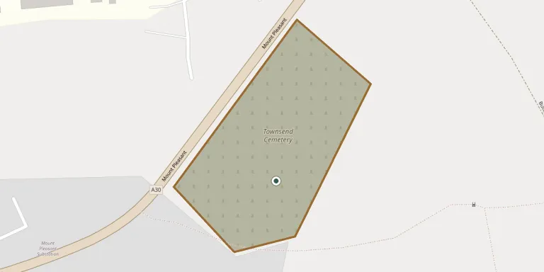
GPS coordinates: 50.886700° N, 2.784033° W Directions in Google Maps (opens in a new tab)
Memorials
No records yet
Photograph a headstone and add it to the archive.
Looking for someone who isn't listed? Request a photo.
Nearby cemeteries
The closest other burial grounds listed on EveryStone.
- Crewkerne (Saint Bartholomew) Churchyard 1.0 km away · Crewkerne
- Misterton Cemetery 2.3 km away · Misterton · 5 records
- Merriott (All Saints) Churchyard 3.0 km away · Merriott · 4 records
- Middle Chinnock (Saint Margaret) Churchyard 3.9 km away · Middle Chinnock · 3 records
- West Chinnock (Saint Mary) Churchyard 3.9 km away · West Chinnock · 5 records
- St Mary Churchyard 4.0 km away · South Perrott
- Hinton St George (Saint George) Churchyard 4.1 km away · Hinton St George · 10 records
- Lopen (All Saints) Churchyard 5.0 km away · Lopen · 3 records
- St. Peter and St. Paul's Churchyard 5.2 km away · Chiselborough · 4 records
- Dinnington (Saint Nicholas) Churchyard 5.4 km away · Dinnington · 2 records
Contribute with the app
Our website works smoothly on both desktop and mobile devices. Prefer a native app? Check it out below.
- Capture clear headstone photos
- Save GPS grave locations automatically
- Transcribe inscriptions with our AI
- Suggest corrections to existing records
Common questions
How big is Townsend Cemetery?
Townsend Cemetery covers about 16,000 m² (3.9 acres), about the size of 2 soccer fields. It is the 32nd largest of the 567 cemeteries we list in Somerset.