
Cemetery #696996
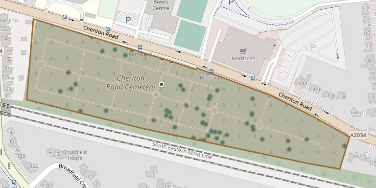
Cheriton Road Cemetery
76
documented records
≈ 1,000–2,000
approx. capacity (graves)
0.050 km²
cemetery area
Nov 5, 2026
last modified
About this cemetery
Cheriton Road Cemetery in Folkestone, Kent, opened for burials in 1857, although one burial took place in 1856. It is divided into older and newer sections and is managed by Folkestone & Hythe District Council. A volunteer group, the Friends of Old Folkestone Cemetery, was established in January 2016 to protect and promote interest in the site. Call +44 7813 552400 to speak to the cemetery, or look at fofc.uk for more.
Cemetery location
GPS coordinates: 51.084782° N, 1.159160° E Directions in Google Maps (opens in a new tab)
Memorials
Showing the first 50 of 76, A–Z by surname. Search all records
 Ada Amos ? – 1899
- Agnes Amos ? – 1895
- Eliza Amos 1856 – 1920
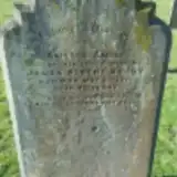 Amelia Ashby 1872 – 1912
 Elizabeth Astbury 1830 – 1905
 Susannah Ayrena ? – 1924
 Walter Bailey 1863 – 1903
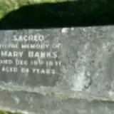 Mary Banks 1787 – 1871
 Harry Bean ? – 1917
- Louisa Bean ? – 1922
- John Brenchley 1848 – 1920
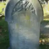 Emily Brett 1876 – 1938
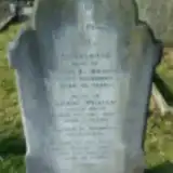 Charlotte Bridges 1857 – 1922
- Edwin Bridges 1879 – 1882
- Edwin Bridges ? – 1933
 Louis Buensod 1857 – 1898
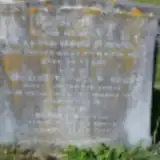 Martha Burvill ? – 1882
- Robert Burvill 1865 – 1892
- William Burvill ? – 1939
 Charlotte Bushell 1829 – 1912
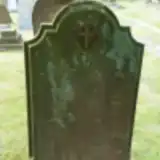 May Caden 1877 – 1877
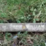 David Carter 1856 – 1914
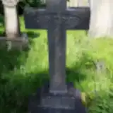 Muriel Carter 1901 – 1921
 Norah Chadwick 1899 – 1916
 Edwin Clark ? – 1923
- Kate Clark 1874 – 1936
 William Copping 1894 – 1922
 Alice Copus 1894 – 1897
- Tom Copus 1898 – 1899
- Mary Cox 1856 – 1925
 Thomas Crawford 1866 – 1946
 Margaret Daines 1854 – 1948
 Alfred Darney 1863 – 1923
 John Dyke 1859 – 1927
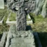 Charles Fergusson 1855 – 1930
- Emilie Fergusson ? – 1904
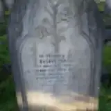 Ellen Findlay ? – 1914
- Richard Findlay 1860 – 1925
 George Franklyn 1862 – 1893
 Ellen Fuller 1853 – 1929
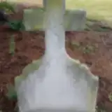 Giuseppe Gianella 1885 – 1920
 Moses Gilden 1839 – 1917
 Amelia Giles 1848 – 1932
 Emily Grape 1858 – 1912
 Alice Green ? – 1871
- John Green 1826 – 1883
- Mary Green ? – 1876
 Mary Green 1871 – 1871
 Catherine Greenaway 1865 – 1934
- William Greenaway 1864 – 1918
Looking for someone who isn't listed? Request a photo.
Nearby cemeteries
The closest other burial grounds listed on EveryStone.
- Bradstone Baptist Burial Ground 1.5 km away · Folkestone
- St Martins Church, Folkestone 2.4 km away · Folkestone · 5 records
- Shorncliffe Military Cemetery 2.5 km away · Sandgate · 7 records
- Newington (Saint Nicholas) Churchyard 3.2 km away · Newington · 15 records
- Spring Lane Cemetery 3.3 km away · Hythe · 9 records
- Hawkinge Cemetery and Crematorium 3.5 km away · Hawkinge · 224 records
- St Michael the Archangel Churchyard 3.5 km away · Hawkinge · 1 record
- St. Oswald's Churchyard 3.8 km away · Paddlesworth
- St Leonard's Churchyard 5.4 km away · Hythe · 13 records
- Saltwood (Saint Peter and Saint Paul) Churchyard 5.6 km away · Saltwood · 9 records
Contribute with the app
Our website works smoothly on both desktop and mobile devices. Prefer a native app? Check it out below.
- Capture clear headstone photos
- Save GPS grave locations automatically
- Transcribe inscriptions with our AI
- Suggest corrections to existing records
Common questions
How big is Cheriton Road Cemetery?
Cheriton Road Cemetery covers about 50,000 m² (12 acres), about the size of 7 soccer fields. It is the 22nd largest of the 475 cemeteries we list in Kent.
What is the oldest grave in this cemetery?
The oldest grave among the records we hold for Cheriton Road Cemetery is that of Caroline Haisell, who died on March 3, 1843.