
51
documented records
≈ 730–1,500
approx. capacity (graves)
0.037 km²
cemetery area
Nov 5, 2026
last modified
About this cemetery
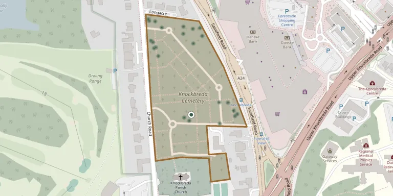
Knockbreda Cemetery is in Newtownbreda, south Belfast, with entrances off Church Road and Saintfield Road. It adjoins the graveyard of Knockbreda parish church and is not looked after by Belfast City Council. It contains three Commonwealth war graves from the First World War and 23 from the Second World War. Visitors can ring +44 28 9032 0202 or check belfastcity.gov.uk.
Cemetery location
GPS coordinates: 54.562801° N, 5.911800° W Directions in Google Maps (opens in a new tab)
Memorials
Showing the first 50 of 51, A–Z by surname. Search all records
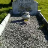 Elizabeth Dunlop ? – 1949
- Joseph Dunlop ? – 1968
- Samuel Dunlop ? – 1956
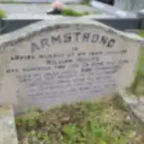 Ann Harrison 1944 – 1964
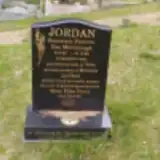 Rosemary Jordan 1949 – 2008
 Alexander McClements 1884 – 1954
 Alexander McMullan ? – 1961
- Naomi McMullan 1897 – 1965
 Heather Murdock 1960 – 1960
- Mary Poots ? – 1985
 Christina Rae 1893 – 1977
- Robert Rae 1884 – 1941
- Sydney Rea ? – 2012
 Annie Rentoul 1861 – 1935
 Annie Reynolds ? – 1878
 Ellen Rutledge ? – 1978
- Robert Rutledge ? – 1970
 Mary Shaw ? – 1958
 Anna Smith 1882 – 1952
- Roland Smith 1883 – 1942
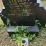 Elizabeth Stevens 1883 – 1956
- Frank Stevens 1917 – 2000
- Mary Stevens 1911 – 1972
 Alfred Storey 1890 – 1974
- Miriam Storey 1932 – 2021
- Shaun Storey ? – 1998
- David Thomas 1884 – 1965
- Grace Thomas ? – 1955
 Mary Thompson 1910 – 2001
- Robert Thompson 1906 – 1955
- John Turner 1861 – 1928
 Myna Uprichard 1922 – 2008
- Robert Uprichard 1918 – 1954
 Douglas Wagner ? – 1958
- Mary Wagner 1913 – 2013
 Agnes Walkington 1901 – 1967
- Beatrice Watters 1913 – 2005
 Victor White 1898 – 1970
 Margaret Wilkinson 1873 – 1949
- Robert Wilkinson 1900 – 1950
- Robert Wilkinson 1867 – 1937
- Roi Wilkinson 1910 – 1931
 Fredrick Williams 1880 – 1957
- Laura Williams ? – 1975
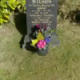 Margaret Wilson 1897 – 1984
- Robert Wilson ? – 2013
- Robert Wilson 1892 – 1957
 Yvonne Wilson 1931 – 2003
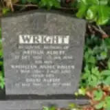 Arthur Wright 1904 – 1956
- David Wright 1940 – 2020
Looking for someone who isn't listed? Request a photo.
Nearby cemeteries
The closest other burial grounds listed on EveryStone.
- Castlereagh Presbyterian Graveyard 2.4 km away · Castlereagh · 2 records
- Friar's Bush Graveyard 2.6 km away · Belfast
- Knockbracken Reformed Presbyterian Churchyard 2.8 km away · Four Winds
- Friends' Burial Ground, Belfast 3.5 km away · Belfast
- Balmoral Cemetery 3.7 km away · Belfast · 20 records
- Roselawn Cemetery 3.7 km away · Down · 37 records
- Drumbo (Holy Trinity Church) Cemetery 3.7 km away · Drumbo
- Knock Cemetery, Clarawood 4.0 km away · Clarawood · 2 records
- Belfast City Cemetery 4.7 km away · Belfast · 34 records
- Milltown Cemetery 4.9 km away · Belfast
Contribute with the app
Our website works smoothly on both desktop and mobile devices. Prefer a native app? Check it out below.
- Capture clear headstone photos
- Save GPS grave locations automatically
- Transcribe inscriptions with our AI
- Suggest corrections to existing records
Common questions
How big is Knockbreda Cemetery?
Knockbreda Cemetery covers about 37,000 m² (9 acres), about the size of 5 soccer fields. It is the 9th largest of the 164 cemeteries we list in County Down.
What is the oldest grave in this cemetery?
The oldest grave among the records we hold for Knockbreda Cemetery is that of Annie E. Reynolds, who died in 1878.