
Cemetery #7051
Tilmanstone (Saint Andrew) Churchyard
Also known as St Andrews Church, Tilmanstone
13
documented records
≈ 81–160
approx. capacity (graves)
4,070 m²
cemetery area
Nov 5, 2026
last modified
About this cemetery
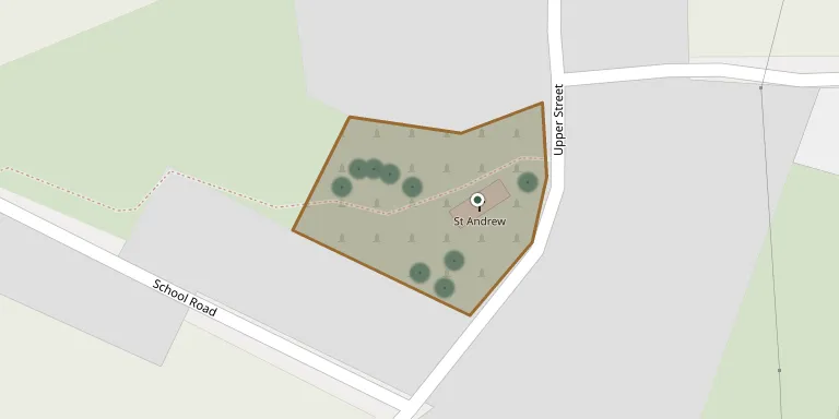
The churchyard surrounds St Andrew's Church in Tilmanstone, Kent. A church existed here in Saxon times, but the present flint building with later stone and brick work is basically of the 11th to 12th centuries. It is Grade I listed and has changed little in a hundred years. The Commonwealth War Graves Commission also lists the churchyard.
Cemetery location
GPS: GPS coordinates: 51.216011° N, 1.295040° E Directions in Google Maps (opens in a new tab)
Memorials
13 memorials, A–Z by surname.
 Martha Bartter 1793 – 1886
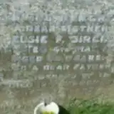 Elsie Birch ? – 1959
- Horace Birch 1880 – 1952
 David Dunn 1879 – 1930
 Charlotte Files ? – 1906
- John Files 1823 – 1910
 Esther Hicks 1834 – 1888
 James Hogben 1797 – 1856
- Anne Richards ? – 1867
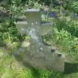 Francis Sandy 1857 – 1929
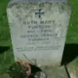 George Timpson 1922 – 2007
- Ruth Timpson 1923 – 2002
 Sarah Whitewood 1753 – 1817
Looking for someone who isn't listed? Request a photo.
Nearby cemeteries
The closest other burial grounds listed on EveryStone.
- Betteshanger St Mary Churchyard 1.5 km away · Northbourne
- Eythorne (Baptist) Churchyard 2.8 km away · Eythorne · 5 records
- Eythorne and Elvington (Saint Peter and Saint Paul) Churchyard 2.9 km away · Eythorne · 16 records
- Waldershare (All Saints) Churchyard 3.2 km away · Waldershare · 4 records
- Northbourne (Saint Augustine) Churchyard 3.2 km away · Dover · 2 records
- Eastry (Saint Mary The Blessed Virgin) Churchyard 3.4 km away · Eastry · 34 records
- Barfrestone (Saint Nicholas) Churchyard 4.0 km away · Eythorne
- Great Mongeham (Saint Martin) Churchyard 4.4 km away · Great Mongeham · 18 records
- Coldred (Saint Pancras) Churchyard 4.8 km away · Coldred
- St Mary the Virgin Churchyard 5.0 km away · Ripple · 6 records
Contribute with the app
Our website works smoothly on both desktop and mobile devices. Prefer a native app? Check it out below.
- Capture clear headstone photos
- Save GPS grave locations automatically
- Transcribe inscriptions with our AI
- Suggest corrections to existing records
Common questions
How big is Tilmanstone (Saint Andrew) Churchyard?
Tilmanstone (Saint Andrew) Churchyard covers about 4,070 m² (1 acre), about half the size of a soccer field. It is the 186th smallest of the 475 cemeteries we list in Kent.
What is the oldest grave in this cemetery?
The oldest grave among the records we hold for Tilmanstone (Saint Andrew) Churchyard is that of Sarah Whitewood, who died in October 1817 at the age of 64.