
18
documented records
≈ 160–320
approx. capacity (graves)
8,070 m²
cemetery area
Nov 5, 2026
last modified
About this cemetery
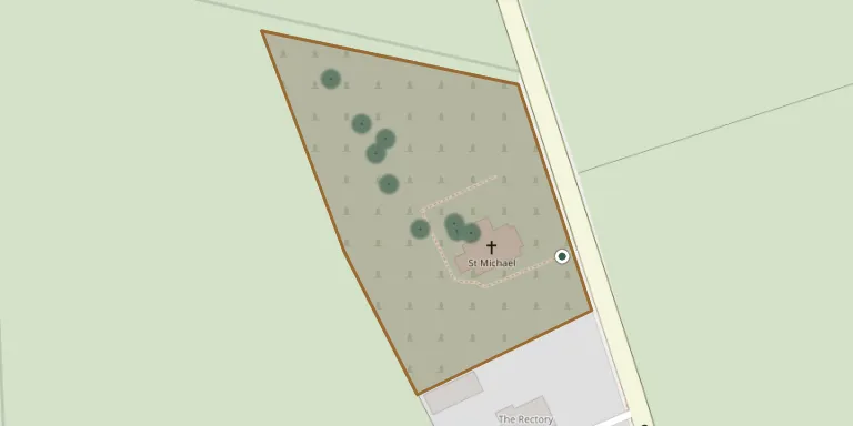
This is the churchyard of St Michael's Church in Wark, Northumberland, whose church is a Grade II listed building. The churchyard is also recorded by the Commonwealth War Graves Commission.
Cemetery location
GPS coordinates: 55.092060° N, 2.223519° W Directions in Google Maps (opens in a new tab)
Memorials
18 memorials, A–Z by surname.
 Robert Armstrong 1945 – 2003
 Edward Crisp ? – 1910
- James Cuthbertson 1838 – 1913
 Mary Elliott 1862 – 1933
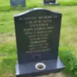 Dorothy Ferguson 1922 – 1994
- John Ferguson ? – 1991
- Hannah Glendertson ? – 1928
 Catherine Harding ? – 1962
- William Harding 1879 – 1957
 James Philips 1836 – 1890
- Isabella Phillips ? – 1911
 Alfred Ridley ? – 1931
- Walter Ridley 1909 – 1914
- Jane Robson 1830 – 1903
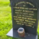 Mary Robson ? – 1986
- Matthew Robson 1907 – 1994
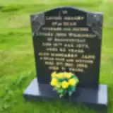 Edward Wilkinson 1911 – 1973
- Margaret Wilkinson ? – 1996
Looking for someone who isn't listed? Request a photo.
Nearby cemeteries
The closest other burial grounds listed on EveryStone.
- St Giles Churchyard 2.0 km away · Birtley
- St Mungo Churchyard 4.2 km away · Simonburn · 7 records
- Bellingham Cemetery 5.9 km away · Bellingham
- St Cuthbert Churchyard 6.1 km away · Bellingham · 7 records
- Humshaugh. St Peter's Churchyard 8.7 km away · Humshaugh
- St Giles Churchyard 9.2 km away · Chollerton · 1 record
- St Peter's Churchyard 9.6 km away · Newbrough
- St Aidan Churchyard 10.0 km away · Thockrington
- St. Oswald Churchyard 11 km away · Wall
- Greystead, St Luke's Churchyard 12 km away · Greystead
Contribute with the app
Our website works smoothly on both desktop and mobile devices. Prefer a native app? Check it out below.
- Capture clear headstone photos
- Save GPS grave locations automatically
- Transcribe inscriptions with our AI
- Suggest corrections to existing records
Common questions
How big is St Michael Churchyard?
St Michael Churchyard covers about 8,070 m² (2 acres), about the size of a soccer field. It is the 48th largest of the 166 cemeteries we list in Northumberland.
What is the oldest grave in this cemetery?
The oldest grave among the records we hold for St Michael Churchyard is that of James Philips, who died on July 28, 1890 at the age of 54.