
Cemetery #7345
Stöcken Town Cemetery
Local name: Stadtfriedhof Stöcken
Also known as Stöckener Friedhof
228
documented records
≈ 10k–20k
approx. capacity (graves)
0.503 km²
cemetery area
Nov 5, 2026
last modified
About this cemetery
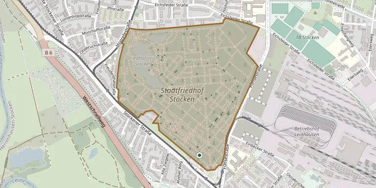
Stadtfriedhof Stöcken in Hanover has a first section laid out in 1889-92 with a strict rectangular grid of paths, designed by city architect Paul Rowald and his colleague Adolf Narten. The cemetery now covers about 55 hectares. It contains honorary graves, and it is described as a large urban cemetery shaped by immigration, emigration and integration.
Cemetery location
GPS coordinates: 52.401585° N, 9.668453° E Directions in Google Maps (opens in a new tab)
Memorials
Showing the first 50 of 228, A–Z by surname. Search all records
 Gerd Altrogge 1921 – 1979
- Hans Altrogge 1898 – 1971
 Katharina Barths 1868 – 1963
 Ernst Bauer 1863 – 1919
- Gerda Bauer 1911 – 1981
- Kurt Bauer 1902 – 1989
- Theodora Bauer 1879 – 1951
 Hermann Becker 1878 – 1958
 Charlotte Beckmann 1909 – 2003
- Georg Beckmann 1883 – 1960
- Johanne Beckmann 1882 – 1970
- Wilhelm Beckmann 1909 – 1992
 Dorothea Behrens 1835 – 1897
- Heinrich Behrens 1827 – 1900
 Ferdinand Brülls 1898 – 1956
- Lotti Brüls 1902 – 1949
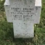 Franz Bruns 1890 – 1941
 Auguste Büggeborn 1861 – 1923
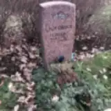 Gisela Cichoreck 1933 – 2008
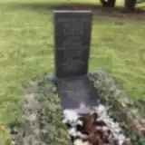 Heike Diedrich ? – 2002
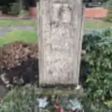 Frida Dittmar 1889 – 1932
- Klaus Dittmar 1934 – 1991
- Wilhelm Dittmar 1881 – 1946
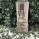 Richard Dörnke 1890 – 1954
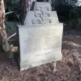 Udo Ellenberger 1870 – 1919
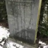 Hedwig Fischer 1906 – 1935
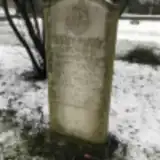 Else Frank 1896 – 1952
- Marie Frank 1883 – 1925
- Wilhelm Frank 1881 – 1975
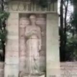 Elisabeth Göhmann 1854 – 1937
- Else Göhmann 1910 – 1995
- Franz Göhmann 1923 – 1943
- Franz Göhmann 1881 – 1914
- Georg Göhmann 1875 – 1932
- Hedwig Göhmann 1924 – 2015
- Hilda Göhmann 1888 – 1982
- Holger Göhmann 1954 – 1983
- Rudolf Göhmann 1921 – 2014
- Rudolf Göhmann 1841 – 1889
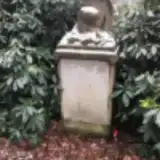 Elfriede Gramert 1882 – 1968
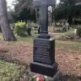 Heinr. Günter 1868 – 1917
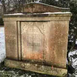 Heinrich Hahnenfeld 1901 – 1959
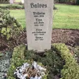 Heinz Halves 1917 – 2011
- Lina Halves 1888 – 1961
- Lisa Halves 1915 – 2000
- Wilhelm Halves 1886 – 1956
 Fritz Heiliger ? – 1910
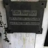 Otto Hoepker 1824 – 1910
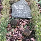 Karl-Heinz Jacobs 1939 – 2014
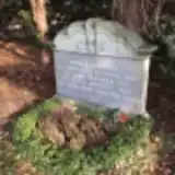 Karl-Heinz Jesuiter 1944 – 2000
Looking for someone who isn't listed? Request a photo.
Nearby cemeteries
The closest other burial grounds listed on EveryStone.
- Herrenhäuser Cemetery 1.4 km away · Hanover
- Letter New Cemetery 1.9 km away · Letter
- Letter Old Cemetery 2.0 km away · Letter
- Ahlem Town Cemetery 2.2 km away · Ahlem
- St. Nikolai-Kirche Cemetery 2.6 km away · Hannover
- Marienwerder Cemetery 2.8 km away · Hannover · 7 records
- Hanover Cemetery 2.8 km away · Hanover · 6 records
- Hanover War Cemetery 2.9 km away · Seelze
- Vinnhorst District Cemetery 3.0 km away · Vinnhorst
- Limmer Old District Cemetery 3.1 km away · Hanover
Contribute with the app
Our website works smoothly on both desktop and mobile devices. Prefer a native app? Check it out below.
- Capture clear headstone photos
- Save GPS grave locations automatically
- Transcribe inscriptions with our AI
- Suggest corrections to existing records
Common questions
How big is Stöcken Town Cemetery?
Stöcken Town Cemetery covers about 50.3 hectares (503,000 m²), a little smaller than Fiumei Road Cemetery in Budapest. It is the 8th largest of the 3,526 cemeteries we list in Lower Saxony.
What is the oldest grave in this cemetery?
The oldest grave among the records we hold for Stöcken Town Cemetery is that of Hermann Liborius, who died on April 14, 1877.