
Cemetery #7512
Perlacher Forst Cemetery
Local name: Friedhof am Perlacher Forst
Also known as Stadelheimer Straße 22 Cemetery, Munich · Friedhof Stadelheimer Straße 22 in München · Stadelheimer Straße 24 Cemetery, Munich · Friedhof Stadelheimer Straße 24 in München
56
documented records
≈ 5.5k–11k
approx. capacity (graves)
0.274 km²
cemetery area
Nov 5, 2026
last modified
About this cemetery
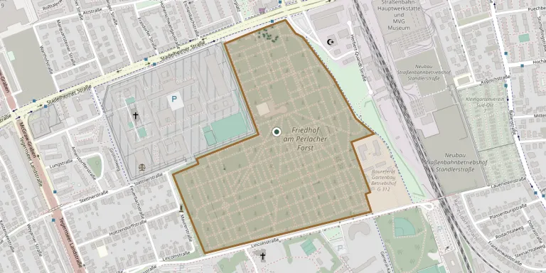
The Friedhof am Perlacher Forst in Obergiesing, Munich, was laid out in 1931 to plans by city architect Hermann Leitenstorfer. It is regarded as an important cemetery and place of remembrance in the city.
Cemetery location
GPS coordinates: 48.099148° N, 11.596497° E Directions in Google Maps (opens in a new tab)
Memorials
Showing the first 50 of 56, A–Z by surname. Search all records
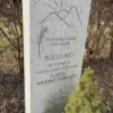 Luise Blessing 1927 – 2023
- Werner Blessing 1930 – 2014
 Hans Blöchl 1923 – 1987
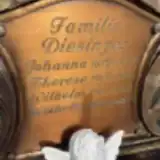 Johanna Diesinger 1872 – 1947
- Therese Diesinger 1901 – 1971
- Wilhelm Diesinger 1930 – 2001
- Wilhelm Diesinger 1908 – 1983
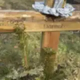 Sophie Dorsch 1932 – 2022
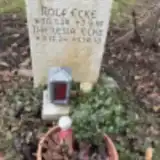 Rolf Ecke 1928 – 1991
- Theresia Ecke 1924 – 2013
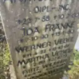 Arthur Franke 1888 – 1960
- Ida Franke 1890 – 1980
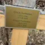 Gregor Freihofner 1972 – 2024
- Ulrich Freihofner 1946 – 2024
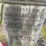 Barbara Frey 1882 – 1954
- Betti Frey 1919 – 1992
- Ernst Frey 1945 – 1960
- Josef Frey 1910 – 2004
 Ferdinand Greck 1906 – 2000
- Maria Greck 1909 – 2000
- Renate Greck 1944 – 2021
 Jürgen Gregarek 1938 – 2020
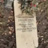 Johann Hartl 1905 – 1984
- Maria Hartl 1919 – 1991
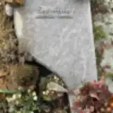 Eva Huber 1953 – 2024
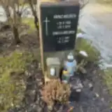 Gisela Meurer 1940 – 2001
- Heinz Meurer 1928 – 2015
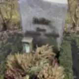 Rosa Nadler 1925 – 2020
- Monika Paulitsch 1957 – 2024
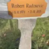 Robert Radosebic 1974 – 2025
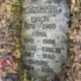 Anna Rossberg 1892 – 1966
- Erich Rossberg 1878 – 1960
- Franz-Erich Rossberg 1927 – 1980
- Sabine Rossberg 1924 – 1999
- Maria Schauer 1887 – 1947
 Alfred Schötz 1932 – 1992
- Alfred Schötz 1911 – 1975
- Alfred Schötz 1960 – 2017
- Hedwig Schötz 1913 – 2009
 Ida Schwarzbach 1898 – 1945
- Renate-Leop Schwarzbach 1926 – 2005
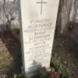 Anton Schweiger 1900 – 1984
- Cäcilie Schweiger 1907 – 1994
- Elfriede Schweiger 1944 – 1946
- Helmut Schweiger 1939 – 2004
- Josef Schweiger 1937 – 1973
 Lydia Tanksley 1929 – 1968
- Martha Vebel 1889 – 1973
- Werner Vebel 1922 – 1967
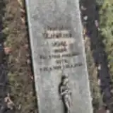 Irene Vogl 1928 – 2008
Looking for someone who isn't listed? Request a photo.
Nearby cemeteries
The closest other burial grounds listed on EveryStone.
- Lincolnstraße 65 Cemetery 180 m away · Munich
- Polnische Soldatengräber 350 m away · Munich
- Ramersdorf-Perlach New South Cemetery 1.7 km away · München · 319 records
- München East Cemetery 2.1 km away · Giesing
- Aribonenstraße 7 Cemetery 2.2 km away · Munich
- St. Georg Cemetery 2.9 km away · Neubiberg · 61 records
- Harlachinger Berg 30 Cemetery, Munich 3.0 km away · Munich
- Perlach Cemetery 3.4 km away · Perlach · 284 records
- Kirche St. Maria 3.8 km away · München · 4 records
- Munich Old South Cemetery 3.9 km away · Munich · 74 records
Contribute with the app
Our website works smoothly on both desktop and mobile devices. Prefer a native app? Check it out below.
- Capture clear headstone photos
- Save GPS grave locations automatically
- Transcribe inscriptions with our AI
- Suggest corrections to existing records
Common questions
How big is Perlacher Forst Cemetery?
Perlacher Forst Cemetery covers about 27.4 hectares (274,000 m²), about the same size as Staglieno Cemetery in Genoa. It is the 13th largest of the 5,401 cemeteries we list in Bavaria.
What is the oldest grave in this cemetery?
The oldest grave among the records we hold for Perlacher Forst Cemetery is that of Ida Schwarzbach, who died on September 19, 1945 at the age of 47.