
Cemetery #7541
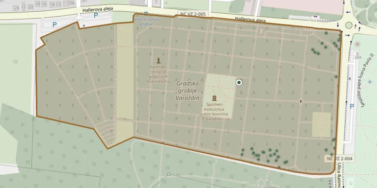
Varaždin Cemetery
Local name: Groblje Varaždin
Also known as Gradsko groblje Varaždin
152
documented records
≈ 3,200–6,300
approx. capacity (graves)
0.158 km²
cemetery area
Nov 5, 2026
last modified
About this cemetery
The town cemetery of Varaždin lies in the western part of the town, outside the historic core, and covers more than 15 hectares. It is owned by the City of Varaždin and managed by the municipal company Parkovi. From 1905 Hermann Haller designed it as a unified landscape of evergreen thuja plantings, deciduous trees, shrubs and lawns combined with artistic gravestones. To get in touch, call +385 42 332 770 or visit parkovi.eu.
Cemetery location
GPS coordinates: 46.309124° N, 16.324007° E Directions in Google Maps (opens in a new tab)
Memorials
Showing the first 50 of 152, A–Z by surname. Search all records
 Terezija Andrašević 1892 – 1965
 Marija Bažulić 1899 – 1986
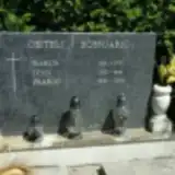 Franjo Bobnjarić 1948 – 2003
- Ivan Bobnjarić 1922 – 1991
- Marija Bobnjarić 1924 – 1983
 Franjo Crnac 1920 – 1983
- Ivan Cvetković 1935 – 2001
 Krešimir Czeisberger 1934 – 2003
 Matilda Eršeg 1876 – 1950
 Vladoje Fehmann 1886 – 1897
- Edmund Feman 1912 – 1996
- Ruža Feman 1913 – 2004
- Vlado Fijačko 1926 – 2014
 Adela Franjković 1922 – 1996
- Eugen Franjković 1924 – 2016
 Julija Funtak 1915 – 1998
 Dušanka Gašparac 1930 – 2000
- Marija Gašparac 1897 – 1974
- Marko Gašparac 1884 – 1976
- Zvonimir Gašparac 1929 – 2009
 Vjekoslav Glavić 1919 – 1971
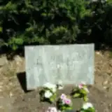 Matejka Gosarić 1984 – 1984
 Martina Habulan 1973 – 1973
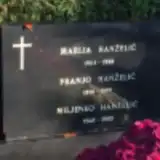 Franjo Hanželić 1918 – 1999
- Marija Hanželić 1924 – 1988
- Miljenko Hanželić 1948 – 2003
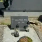 Mira Harasymluk 1930 – 2006
 Verica Herceg 1950 – 1956
 Dragutin Horvat 1910 – 1955
- Marijan Horvat 1942 – 2003
- Zdenka Horvat 1918 – 2000
- Viktorin Ivančok 1933 – 2021
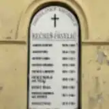 Gašpar Jaklin 1829 – 1889
 Terezija Jakopec 1912 – 1992
- Tomo Jakopec 1911 – 1986
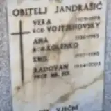 Ana Jandrašić 1936 – 1983
- Emil Jandrašić 1907 – 1990
- Radovan Jandrašić 1934 – 2003
- Vera Jandrašić 1905 – 1978
- Ljudevit Kečkeš 1891 – 1951
 Gordana Kekić ? – 2017
- Janko Kekić 1922 – 1992
- Marija Kekić 1922 – 2013
 Ana Kirinić 1892 – 1973
- Franjo Kirinić 1911 – 1963
- Ivan Kirinić 1885 – 1967
- Ivka Kirinić 1912 – 1914
 Kristina Kögl 1887 – 1967
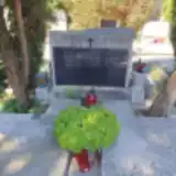 Amalija Košutić 1885 – 1971
- Andrija Košutić 1881 – 1970
Looking for someone who isn't listed? Request a photo.
Nearby cemeteries
The closest other burial grounds listed on EveryStone.
- Biškupec Cemetery 2.3 km away · Biškupec
- Varaždin Jewish Cemetery 2.6 km away · Varaždin
- Sračinec Cemetery 4.7 km away · Sračinec
- Papinec Cemetery 5.7 km away · Papinec
- Svibovec Podravski Cemetery 5.9 km away · Svibovec Podravski
- Žigrovec Cemetery 6.9 km away · Žigrovec
- Nova Ves Petrijanečka Cemetery 7.2 km away · Nova Ves Petrijanečka
- Šandorovec Cemetery 7.7 km away · Šandorovec
- Kneginečko Cemetery 8.3 km away · Gornji Kneginec
- Gornji Hrašćan Cemetery 8.5 km away · Macinec
Contribute with the app
Our website works smoothly on both desktop and mobile devices. Prefer a native app? Check it out below.
- Capture clear headstone photos
- Save GPS grave locations automatically
- Transcribe inscriptions with our AI
- Suggest corrections to existing records
Common questions
How big is Varaždin Cemetery?
Varaždin Cemetery covers about 15.8 hectares (158,000 m²), about the same size as Brompton Cemetery in London. It is the largest of the 60 cemeteries we list in Varaždin.
What is the oldest grave in this cemetery?
The oldest grave among the records we hold for Varaždin Cemetery is that of Hedwig Pust, who died in 1844 at the age of 6.