
106
documented records
≈ 840–1,700
approx. capacity (graves)
0.042 km²
cemetery area
Nov 5, 2026
last modified
About this cemetery
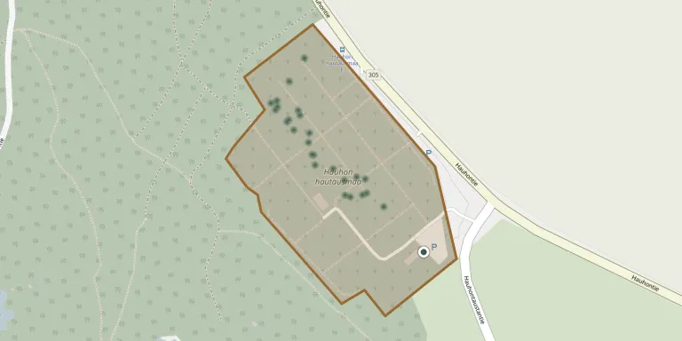
Hauho Cemetery was established in 1851 and is run by Hauho parish. It lies about 2.8 km from Hauho church, in what is now part of Hämeenlinna. For enquiries, call +358 40 8049445 or see hauhonseurakunta.fi.
Cemetery location
GPS coordinates: 61.157623° N, 24.591875° E Directions in Google Maps (opens in a new tab)
Memorials
Showing the first 50 of 106, A–Z by surname. Search all records
 Hilda Aalto 1906 – 1918
- Johanna Aalto 1897 – 1946
- Juha Aalto 1873 – 1942
- Laina Aalto 1908 – 2004
- Mila Aalto 1925 – 2014
- Onni Aalto 1917 – 1919
- Toivo Aalto 1919 – 1919
- Tyyne Aalto 1910 – 1997
- Veikko Aalto 1924 – 2008
- Wilhelmiina Aalto 1877 – 1919
 Yrjö Alas 1879 – 1951
- Aarne Alastalo 1919 – 2006
 Matti Anttila 1827 – 1901
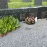 Helmi Arvela 1933 – 2007
- Pirjo Arvela 1959 – 2005
- Rauno Arvela 1930 – 2014
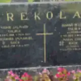 Johannes Bäck 1918 – 1997
- Maija Bäck 1920 – 2017
 Gustaf Charpentier 1839 – 1914
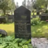 Aleksandra Daavola 1893 – 1965
- Heikki Daavola 1835 – 1926
- Juho Daavola 1872 – 1932
- Brita Eriksson 1927 – 2019
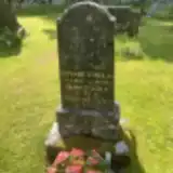 Edvard Eskola 1897 – 1982
- Hilma Eskola 1896 – 1949
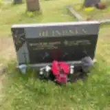 Helga Heinonen 1919 – 1986
- Olli Heinonen 1923 – 2016
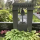 Alli Honkasaari 1901 – 1986
- Mirja Honkasaari 1930 – 2019
- Ville Honkasaari 1886 – 1961
- Ville Honkasaari 1928 – 2022
- Eemeli Innala 1875 – 1952
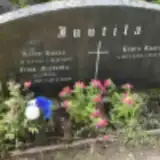 Aimo Juutila 1926 – 1997
- Ilma Juutila 1921 – 2009
- Laura Juutila 1954 – 1992
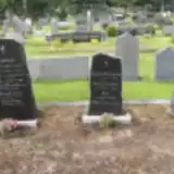 Alma Karkkula 1881 – 1956
- Arvo Karkkula 1908 – 1922
- Eevert Karkkula 1875 – 1945
- Elina Karkkula 1942 – 1947
- Elsa Karkkula 1913 – 1987
- Heikki Karkkula 1846 – 1917
- Ida Karkkula 1853 – 1934
- Ida Karkkula 1878 – 1950
- Kalle Karkkula 1886 – 1975
- Lyyli Karkkula 1906 – 1931
- Onni Karkkula 1910 – 1977
- Sirkka Karkkula 1941 – 1947
- Vilho Karkkula 1904 – 1926
- Margaretha Kerstin 1898 – 1985
- Iida Klemola 1865 – 1934
Looking for someone who isn't listed? Request a photo.
Nearby cemeteries
The closest other burial grounds listed on EveryStone.
- Tuulos Cemetery 10 km away · Hämeenlinna · 17 records
- Sairiala Heroes' Cemetery 10 km away · Sairiala
- Tyrväntö Cemetery 14 km away · Suotaala
- Tyrväntö Heroes' Cemetery 14 km away · Tyrväntö
- Mierola Heroes' Cemetery 15 km away · Mierola
- Hattula Cemetery 15 km away · Hattula
- Lepaa Cemetery 15 km away · Lepaa
- Hattula Cemetery of the Holy Cross 16 km away · Hattula
- Old Cemetery Hämeenlinna 20 km away · Hämeenlinna · 10 records
- Ahvenisto Jewish Cemetery 21 km away · Ahvenisto
Contribute with the app
Our website works smoothly on both desktop and mobile devices. Prefer a native app? Check it out below.
- Capture clear headstone photos
- Save GPS grave locations automatically
- Transcribe inscriptions with our AI
- Suggest corrections to existing records
Common questions
How big is Hauho Cemetery?
Hauho Cemetery covers about 42,000 m² (10 acres), about the size of 6 soccer fields. It is the 6th largest of the 41 cemeteries we list in Kanta-Häme.
What is the oldest grave in this cemetery?
The oldest grave among the records we hold for Hauho Cemetery is that of Adolf Fr. Sirén, who died on May 14, 1868 at the age of 61.