
Cemetery #7811
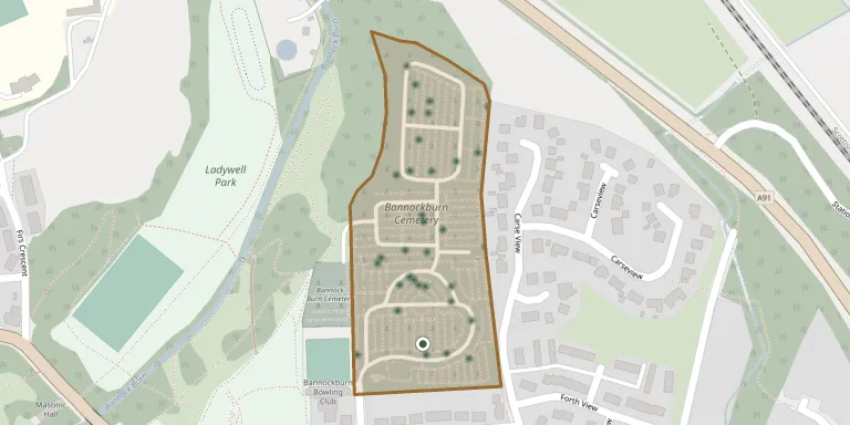
Bannockburn Cemetery
80
documented records
≈ 730–1,500
approx. capacity (graves)
0.037 km²
cemetery area
Nov 5, 2026
last modified
About this cemetery
Bannockburn Cemetery was built in the late 1890s as a successor to St. Ninian's Churchyard, which was nearing capacity. Burial records from the cemetery, covering more than 150 years, are held in an open dataset published by Stirling Council.
Cemetery location
GPS coordinates: 56.092747° N, 3.910161° W Directions in Google Maps (opens in a new tab)
Memorials
Showing the first 50 of 80, A–Z by surname. Search all records
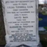 Catherine Bain ? – 2006
- David Bain ? – 1958
- James Bain ? – 1919
- Lilias Bain ? – 1951
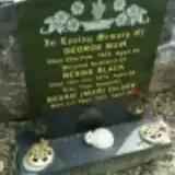 Bessie Black ? – 1976
 John Bowan ? – 1956
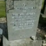 Marion Brown ? – 1982
 Elizabeth Buchan ? – 1957
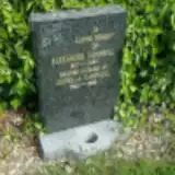 Alexander Campbell 1907 – 1983
- Isabella Campbell 1900 – 1986
- Michael Casey 1904 – 1971
 James Chapman 1924 – 1990
 Alexander Craig 1883 – 1943
 Joseph Cruener 1877 – 1952
 Lena Cully 1911 – 1972
 Elizabeth Cuthbert 1878 – 1937
- Mary Dales 1886 – 1957
- Bessie Dilger 1913 – 2001
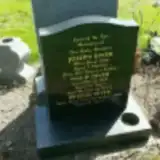 Bridgid Diver ? – 2005
- Joseph Diver ? – 1930
- Philip Diver 1887 – 1959
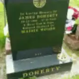 James Doherty 1920 – 2005
 Michel Dreczkowski 1946 – 2015
 James Dunn 1916 – 1940
- James Dunn ? – 1953
- William Dunnachie 1900 – 1968
 Margaret Eadie 1890 – 1967
 Agnes Easton 1943 – 2004
 William Elliott 1938 – 2004
 Robert Erskine 1853 – 1924
 Bert Ferguson 1941 – 2007
 Mae Fogden 1930 – 2011
- Daniel Forsyth ? – 1922
- David Forsyth ? – 1919
- David Forsyth ? – 1911
 Ellen Forsyth 1929 – 2013
 Isabel Forsyth 1868 – 1946
- James Forsyth ? – 1910
- John Forsyth 1910 – 1940
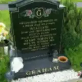 Mary Forsyth 1937 – 2014
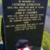 Iain Gardner 1947 – 1984
 John Gartshore 1864 – 1927
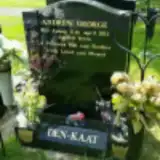 Andrew George 2002 – 2011
 Richard Gibb 1847 – 1913
 Jessie Gibson 1913 – 1974
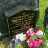 Kathleen Gibson 1944 – 2015
- Matthew Gibson 1908 – 2005
- Myra Gibson 1940 – 2005
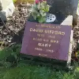 David Gifford 1875 – 1942
- Mary Gifford 1890 – 1969
Looking for someone who isn't listed? Request a photo.
Nearby cemeteries
The closest other burial grounds listed on EveryStone.
- Bannock Burn Cemetery 100 m away · Bannockburn
- St Ninian's Old Churchyard 2.0 km away · Stirling · 19 records
- Cambuskenneth Abbey 3.4 km away · Cambuskenneth
- Holy Rude Kirkyard 3.8 km away · Stirling
- The Old Town Cemeteries, Stirling 3.9 km away · Stirling
- Valley Cemetery 3.9 km away · Stirling · 6 records
- Snowdon Cemetery 4.0 km away · Stirling · 2 records
- Saint Thomas Cemetery 4.0 km away · Cambusbarron · 156 records
- Ballengeich Cemetery 4.2 km away · Stirling · 10 records
- Plean Parish Churchyard 4.4 km away · Plean · 3 records
Contribute with the app
Our website works smoothly on both desktop and mobile devices. Prefer a native app? Check it out below.
- Capture clear headstone photos
- Save GPS grave locations automatically
- Transcribe inscriptions with our AI
- Suggest corrections to existing records
Common questions
How big is Bannockburn Cemetery?
Bannockburn Cemetery covers about 37,000 m² (9 acres), about the size of 5 soccer fields. It is the 4th largest of the 68 cemeteries we list in Stirlingshire.
What is the oldest grave in this cemetery?
The oldest grave among the records we hold for Bannockburn Cemetery is that of James Forsyth, who died on August 23, 1910.