
Cemetery #818061
Rancho de Arriba Communal Cemetery
Local name: Panteón Comunal Rancho de Arriba
0
documented records
≈ 120–240
approx. capacity (graves)
6,010 m²
cemetery area
Oct 8, 2026
last modified
About this cemetery
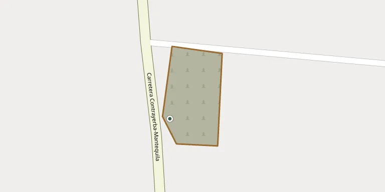
Rancho de Arriba Communal Cemetery lies in Los Urbanos, San Luis Potosí, Mexico. The cemetery can be reached by phone on +52 444 627 4245.
Cemetery location
GPS: GPS coordinates: 22.387022° N, 100.887598° W Directions in Google Maps (opens in a new tab)
Memorials
No records yet
Photograph a headstone and add it to the archive.
Looking for someone who isn't listed? Request a photo.
Nearby cemeteries
The closest other burial grounds listed on EveryStone.
- Tanque Nuevo Cemetery 13 km away · Tanque Nuevo
- Palomas Cemetery 17 km away · Palomas
- Estanzuela Municipal Cemetery 18 km away · Estanzuela
- Nuestra Señora Del Refugio Municipal Cemetery 22 km away · Soledad de Graciano Sánchez
- Bocas Delegation Municipal Cemetery No. 1 22 km away · Mezquital
- Arboledas del Consuelo Cemetery 23 km away · Soledad de Graciano Sánchez
- Villa Hidalgo Municipal Cemetery 24 km away · Villa Hidalgo
- Del Saucito Cemetery 26 km away · Colonia División del Norte
- Valle de los Cedros Cemetery, San Luis 26 km away · San Luis
- Españita Cemetery 30 km away · San Luis Potosí
Contribute with the app
Our website works smoothly on both desktop and mobile devices. Prefer a native app? Check it out below.
- Capture clear headstone photos
- Save GPS grave locations automatically
- Transcribe inscriptions with our AI
- Suggest corrections to existing records
Common questions
How big is Rancho de Arriba Communal Cemetery?
Rancho de Arriba Communal Cemetery covers about 6,010 m² (1.5 acres), about the size of a soccer field. It is the 23rd smallest of the 57 cemeteries we list in San Luis Potosí.