
Cemetery #818776
Laprida Cemetery
Local name: Cementerio de Laprida
0
documented records
≈ 610–1,200
approx. capacity (graves)
0.031 km²
cemetery area
Oct 18, 2026
last modified
About this cemetery
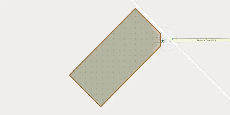
The Cementerio de Laprida stands in a rural area about 3,500 metres south-west of the main square of Laprida, Buenos Aires Province. Its monumental portal was designed by the architect Francisco Salamone and projected in 1936. A cross more than thirty metres high marks the entrance, and the funerary scene there alludes to the Way of the Cross. Questions about visits or burials can go to +54 3465 44-4356; more information is available from laprida.gob.ar.
Cemetery location
GPS coordinates: 37.563163° S, 60.830599° W Directions in Google Maps (opens in a new tab)
Memorials
No records yet
Photograph a headstone and add it to the archive.
Looking for someone who isn't listed? Request a photo.
Nearby cemeteries
The closest other burial grounds listed on EveryStone.
- General La Madrid Cemetery 52 km away · Fonavi
- De la Garma Cemetery 55 km away · Adolfo Gonzales Chaves
- Coronel Pringles Cemetery 64 km away · Coronel Pringles
- La Colina Cemetery 71 km away · La Colina
- Chillar Cemetery 82 km away · Chillar
- Indio Rico Cemetery 85 km away · Indio Rico
- Olavarría Municipal Cemetery 86 km away · Olavarría
- Benito Juárez Municipal Cemetery 87 km away · Benito Juárez
- Loma de Paz Park Cemetery 90 km away · Olavarría
- Santa María Cemetery 92 km away · Santa María
Contribute with the app
Our website works smoothly on both desktop and mobile devices. Prefer a native app? Check it out below.
- Capture clear headstone photos
- Save GPS grave locations automatically
- Transcribe inscriptions with our AI
- Suggest corrections to existing records
Common questions
How big is Laprida Cemetery?
Laprida Cemetery covers about 31,000 m² (7.6 acres), about the size of 4 soccer fields. It is the 131st largest of the 264 cemeteries we list in Buenos Aires.