
Cemetery #8663
Turów Churchyard
Local name: Turów, cmentarz przykościelny
Also known as Turów, Cmentarz Parafialny
30
documented records
≈ 75–150
approx. capacity (graves)
3,750 m²
cemetery area
Nov 5, 2026
last modified
About this cemetery
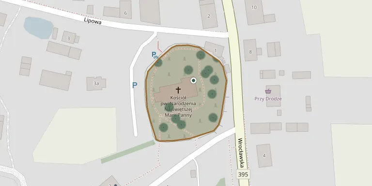
This is the churchyard of the Church of the Nativity of the Blessed Virgin Mary on ul. Parafialna in Turów, Wrocław County, Lower Silesia.
Cemetery location
GPS coordinates: 50.994892° N, 17.068094° E Directions in Google Maps (opens in a new tab)
Memorials
30 memorials, A–Z by surname.
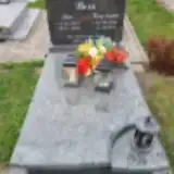 Jan Besz 1944 – 2009
- Krystyna Besz 1946 – 1990
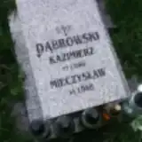 Kazimierz Dąbrowski ? – 1946
- Mieczysław Dąbrowski 1948 – 1948
 Stanisław Dąbrowski 1888 – 1972
- Tadeusz Dąbrowski 1931 – 1971
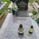 Teresa Garbowska 1940 – 1984
- Antoni Garbowski 1936 – 2015
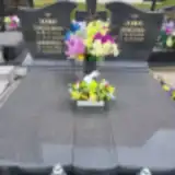 Bronisława Hajto 1913 – 1997
- Kazimierz Hajto 1915 – 1982
- Kazimierz Hajto 1940 – 2015
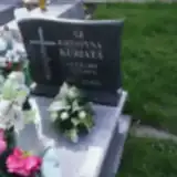 Krystyna Kuriata 1883 – 1972
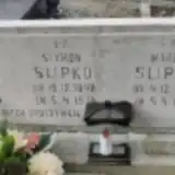 Kazimierz Ślipko 1929 – 1976
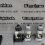 Krystyna Ślipko 1938 – 2016
- Maria Ślipko 1895 – 1974
- Sabina Ślipko 1903 – 1978
- Szymon Ślipko 1898 – 1975
- Władysław Ślipko 1931 – 2000
- Wojciech Ślipko 1906 – 1975
 Anna Średniawa 1907 – 1963
 Franciszek Wawrzynów 1896 – 1947
- Janina Wawrzynów 1926 – 2018
- Kazimiera Wawrzynów 1949 – 1950
- Kazimierz Wawrzynów 1922 – 2000
- Zbigniew Wawrzynów 1953 – 2022
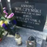 Zofia Wilczyńska 1918 – 1991
- Antoni Wilczyński 1909 – 1982
 Halina Żygadło 1952 – 1952
 Stefania Żygadło 1938 – 1946
- Zbigniew Żygadło 1959 – 1960
Looking for someone who isn't listed? Request a photo.
Nearby cemeteries
The closest other burial grounds listed on EveryStone.
- Żórawina Cemetery 2.9 km away · Żórawina · 3 records
- Sulimów Cemetery 4.2 km away · Sulimów · 6 records
- Żerniki Wrocławskie Cemetery 4.5 km away · Żerniki Wrocławskie · 38 records
- Święta Katarzyna Cemetery 4.7 km away · Siechnice · 5 records
- Sulęcin Roman Catholic Cemetery 5.2 km away · Sulęcin
- Wrocław Cemetery (Bieńkowice) 5.9 km away · Wrocław · 27 records
- Wilczków Parish Cemetery 6.5 km away · Wilczków · 8 records
- Siechnice Parish Cemetery 6.5 km away · Siechnice · 15 records
- Radwanice Parish Cemetery 6.7 km away · Radwanice
- Grodziszów Cemetery 7.0 km away · Grodziszów
Contribute with the app
Our website works smoothly on both desktop and mobile devices. Prefer a native app? Check it out below.
- Capture clear headstone photos
- Save GPS grave locations automatically
- Transcribe inscriptions with our AI
- Suggest corrections to existing records
Common questions
How big is Turów Churchyard?
Turów Churchyard covers about 3,750 m² (0.9 acres), about half the size of a soccer field. It is the 604th smallest of the 1,407 cemeteries we list in Lower Silesian Voivodeship.
What is the oldest grave in this cemetery?
The oldest grave among the records we hold for Turów Churchyard is that of Stefania Żygadło, who died on January 12, 1946 at the age of 7.