
1
documented record
≈ 660–1,300
approx. capacity (graves)
0.033 km²
cemetery area
Oct 18, 2026
last modified
About this cemetery
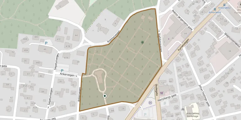
Hamar cemetery lies a few hundred metres north-east of Hamar Cathedral. It was laid out on land belonging to the Holset farm in Vang and taken into use in 1859, and has been extended several times. It has sections for coffin and urn graves and an anonymous memorial grove. The present crematorium chapel was designed by Rolf Prag and consecrated in 1938, with interior decoration by Per Vigeland; an earlier burial chapel from 1886 has been demolished.
Cemetery location
GPS coordinates: 60.799194° N, 11.069842° E Directions in Google Maps (opens in a new tab)
Memorials
1 memorial, A–Z by surname.
Looking for someone who isn't listed? Request a photo.
Nearby cemeteries
The closest other burial grounds listed on EveryStone.
- Hol Cemetery 2.3 km away · Hamar
- Vang Churchyard 3.4 km away · Hamar
- Furnes Churchyard 5.3 km away · Furnes
- Ottestad Churchyard 6.2 km away · Ottestad
- Nes Churchyard 8.0 km away · Tingnes · 14 records
- Øvre Vang Churchyard 9.0 km away · Hamar · 14 records
- Stange Church Cemetery 11 km away · Stange
- Brumunddal Churchyard 11 km away · Brumunddal · 55 records
- Romedal Churchyard 12 km away · Romedal · 502 records
- Stavsjø kirke 12 km away · Stavsjø
Contribute with the app
Our website works smoothly on both desktop and mobile devices. Prefer a native app? Check it out below.
- Capture clear headstone photos
- Save GPS grave locations automatically
- Transcribe inscriptions with our AI
- Suggest corrections to existing records
Common questions
How big is Hamar Kirkegaard?
Hamar Kirkegaard covers about 33,000 m² (8.1 acres), about the size of 5 soccer fields. It is the 8th largest of the 159 cemeteries we list in Innlandet.
What is the oldest grave in this cemetery?
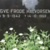
The oldest grave among the records we hold for Hamar Kirkegaard is that of Yngve Frode Halvorsen, who died on October 14, 1968 at the age of 26.