
Cemetery #9196
Lecropt Kirk
Also known as Lecropt Church, Bridge of Allan · Churchyard, Lecropt Kirk · Lecropt Churchyard
22
documented records
≈ 140–270
approx. capacity (graves)
6,800 m²
cemetery area
Oct 27, 2026
last modified
About this cemetery
Lecropt Kirk stands outside Bridge of Allan on the A9 road towards Dunblane and served the rural parish of Lecropt. The medieval parish church was abandoned in 1826 when a new parish church was built nearby between 1824 and 1826. The churchyard is a Category B listed site, and burial records for it were compiled by Stirling Council.
Cemetery location
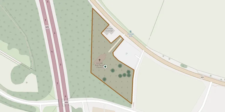
GPS coordinates: 56.158401° N, 3.964800° W Directions in Google Maps (opens in a new tab)
Memorials
22 memorials, A–Z by surname.
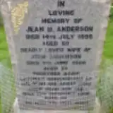 Ian Anderson ? – 2006
- Jean Anderson 1937 – 1996
- John Anderson ? – 2006
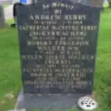 Andrew Berry 1850 – 1919
- Catherine Berry 1856 – 1931
- Catherine Brown 1912 – 1986
- Charles Brown 1915 – 2004
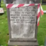 Mary Bulloch ? – 2000
- John Drummond 1895 – 1974
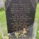 Barbara Gall ? – 1980
 Annie Jardine ? – 1910
- Dorothy Jardine ? – 1879
- Edward Jardine 1825 – 1920
- Mary Jardine ? – 1900
- William Jardine ? – 1896
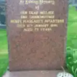 Agnes MacArthur 1922 – 1995
- Ian MacKrell ? – 1978
- William MacKrell 1885 – 1976
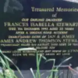 Frances Stewart ? – 1995
- James Stewart 1972 – 2000
- Helen Walker 1891 – 1952
- Robert Walker 1889 – 1918
Looking for someone who isn't listed? Request a photo.
Nearby cemeteries
The closest other burial grounds listed on EveryStone.
- Lecropt Old Churchyard 280 m away · Bridge of Allan
- Saint Mary's Churchyard Cemetery 3.3 km away · Dunblane · 7 records
- Dunblane Cathedral Churchyard 3.4 km away · Dunblane · 11 records
- Logie Old Kirk 3.6 km away · Logie · 9 records
- Logie Cemetery 3.9 km away · Stirling · 191 records
- Ballengeich Cemetery 3.9 km away · Stirling · 10 records
- Snowdon Cemetery 4.1 km away · Stirling · 2 records
- Valley Cemetery 4.2 km away · Stirling · 6 records
- The Old Town Cemeteries, Stirling 4.3 km away · Stirling
- Holy Rude Kirkyard 4.3 km away · Stirling
Contribute with the app
Our website works smoothly on both desktop and mobile devices. Prefer a native app? Check it out below.
- Capture clear headstone photos
- Save GPS grave locations automatically
- Transcribe inscriptions with our AI
- Suggest corrections to existing records
Common questions
How big is Lecropt Kirk?
Lecropt Kirk covers about 6,800 m² (1.7 acres), about the size of a soccer field. It is the 21st largest of the 68 cemeteries we list in Stirlingshire.
What is the oldest grave in this cemetery?
The oldest grave among the records we hold for Lecropt Kirk is that of Dorothy Hedley Jardine, who died on April 20, 1879.