
Lower Austria
1,114 known cemeteries in Lower Austria, Austria.
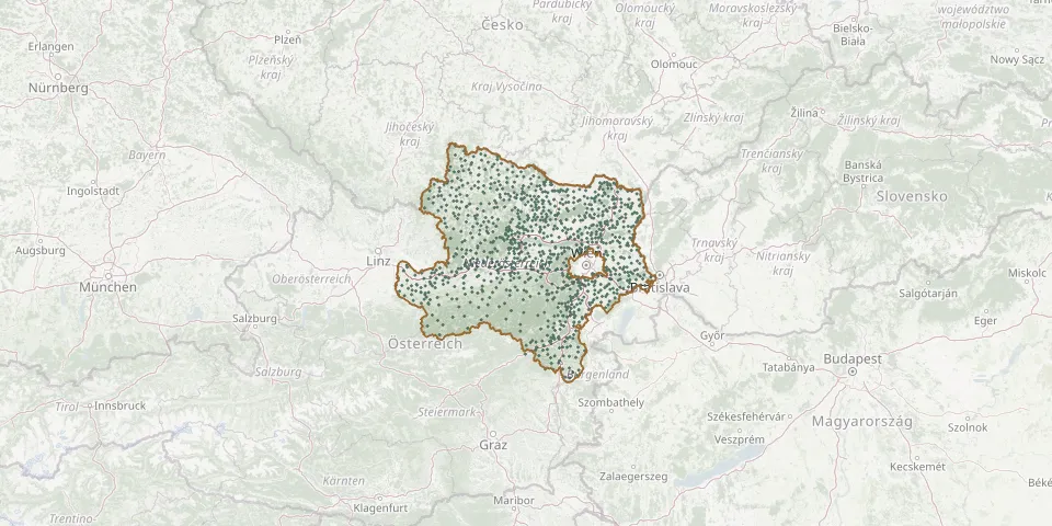 © OpenStreetMap
- Euratsfeld CemeteryGPS coordinates: 48.08398° N, 14.93339° E
- Fahndorf CemeteryGPS coordinates: 48.54967° N, 15.96598° E
- Falkenstein CemeteryGPS coordinates: 48.72335° N, 16.58496° E
- Fallbach CemeteryGPS coordinates: 48.65720° N, 16.41984° E
- Feistritz am Wechsel CemeteryGPS coordinates: 47.60166° N, 16.05234° E
- Felixdorf CemeteryGPS coordinates: 47.87840° N, 16.24661° E
- Felling CemeteryGPS coordinates: 48.86745° N, 15.79584° E
- Ferschnitz CemeteryGPS coordinates: 48.09398° N, 14.98316° E
- Feuersbrunn CemeteryGPS coordinates: 48.43849° N, 15.78536° E
- Fischamend CemeteryGPS coordinates: 48.11800° N, 16.61901° E
- Fischamend-Dorf CemeteryGPS coordinates: 48.11985° N, 16.60269° E
- Föllim CemeteryGPS coordinates: 48.68366° N, 16.55752° E
- Franzen CemeteryGPS coordinates: 48.62065° N, 15.39534° E
- Franzensdorf CemeteryGPS coordinates: 48.19129° N, 16.64043° E
- Frättingsdorf CemeteryGPS coordinates: 48.64357° N, 16.50208° E
- Frauendorf an der Schmida CemeteryGPS coordinates: 48.57163° N, 15.93654° E
- Freischling CemeteryGPS coordinates: 48.56726° N, 15.71340° E
- Freundorf ChurchyardGPS coordinates: 48.28430° N, 16.04815° E
- Fuchsenbigl CemeteryGPS coordinates: 48.19829° N, 16.74585° E
- Fuglau CemeteryGPS coordinates: 48.64514° N, 15.54144° E
- Fünfhaus Jewish CemeteryGPS coordinates: 48.27413° N, 16.91373° E
- Furth an der Triesting CemeteryGPS coordinates: 47.97492° N, 15.97686° E
- Furth bei Göttweig CemeteryGPS coordinates: 48.37766° N, 15.61123° E
- Furth CemeteryGPS coordinates: 48.18871° N, 15.97800° E
- Gablitz CemeteryGPS coordinates: 48.22746° N, 16.14197° E
- Gainfarn CemeteryGPS coordinates: 47.96235° N, 16.18828° E
- Gaiselberg CemeteryGPS coordinates: 48.53225° N, 16.72659° E
- Gallbrunn CemeteryGPS coordinates: 48.05606° N, 16.63700° E
- Gaming CemeteryGPS coordinates: 47.93174° N, 15.09087° E
- Gansbach CemeteryGPS coordinates: 48.30576° N, 15.47433° E