
Lower Austria
1,114 known cemeteries in Lower Austria, Austria.
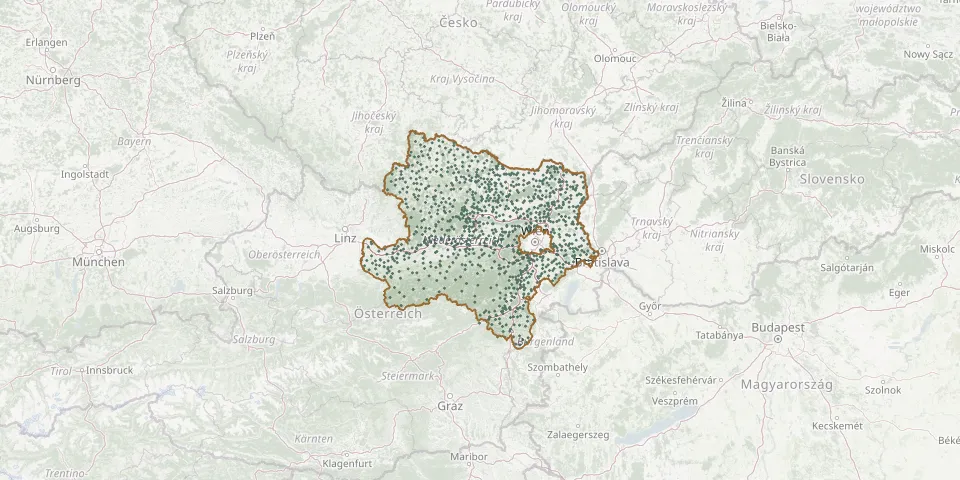 © OpenStreetMap
- Pfarrkirche WeitenGPS coordinates: 48.29106° N, 15.26386° E
- Pfarrkirche WolfsbachGPS coordinates: 48.07924° N, 14.66912° E
- Pframa ChurchyardGPS coordinates: 48.16414° N, 16.78308° E
- Pillichsdorf CemeteryGPS coordinates: 48.36043° N, 16.53977° E
- Pischelsdorf CemeteryGPS coordinates: 48.00244° N, 16.56382° E
- Pisching Parish CemeteryGPS coordinates: 48.32250° N, 15.07230° E
- Pitten CemeteryGPS coordinates: 47.71877° N, 16.18008° E
- Platt CemeteryGPS coordinates: 48.66705° N, 15.96869° E
- Pleißing CemeteryGPS coordinates: 48.80432° N, 15.83979° E
- Pöbring CemeteryGPS coordinates: 48.25544° N, 15.23137° E
- Pöchlarn CemeteryGPS coordinates: 48.21094° N, 15.21961° E
- Pottendorf CemeteryGPS coordinates: 47.91375° N, 16.39133° E
- Pottenhofen CemeteryGPS coordinates: 48.76125° N, 16.55067° E
- Pottenstein CemeteryGPS coordinates: 47.95635° N, 16.09627° E
- Pottschach CemeteryGPS coordinates: 47.70011° N, 15.99935° E
- Pottschach Russian CemeteryGPS coordinates: 47.70221° N, 16.01352° E
- Poysbrunn CemeteryGPS coordinates: 48.71905° N, 16.62284° E
- Poysdorf CemeteryGPS coordinates: 48.66710° N, 16.63719° E
- Prein an der Rax CemeteryGPS coordinates: 47.67335° N, 15.76374° E
- Prellenkirchen CemeteryGPS coordinates: 48.07653° N, 16.95617° E
- Pressbaum Russian War Cemetery 1945GPS coordinates: 48.17770° N, 16.06088° E
- Prinzendorf an der Zaya CemeteryGPS coordinates: 48.59895° N, 16.71711° E
- Probstdorf CemeteryGPS coordinates: 48.16946° N, 16.61229° E
- Prottes CemeteryGPS coordinates: 48.38855° N, 16.74392° E
- Puchberg CemeteryGPS coordinates: 47.78472° N, 15.91182° E
- Puch CemeteryGPS coordinates: 48.84791° N, 15.35702° E
- Puch Former CemeteryGPS coordinates: 48.84576° N, 15.35692° E
- Pulkau CemeteryGPS coordinates: 48.70810° N, 15.86117° E
- Purgstall CemeteryGPS coordinates: 48.05632° N, 15.13935° E
- Purkersdorf CemeteryGPS coordinates: 48.20587° N, 16.17048° E