
Upper Austria
489 known cemeteries in Upper Austria, Austria.
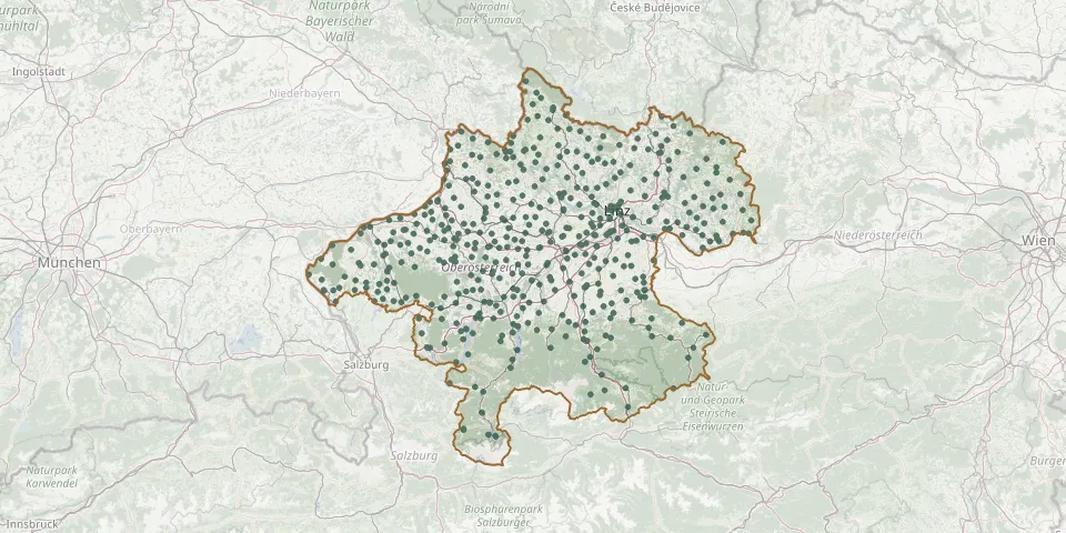 © OpenStreetMap
- Mondsee CemeteryGPS coordinates: 47.85361° N, 13.34696° E
- Mondsee Urn CemeteryGPS coordinates: 47.85430° N, 13.36016° E
- Mörschwang CemeteryGPS coordinates: 48.30319° N, 13.36531° E
- Mühlheim am Inn CemeteryGPS coordinates: 48.28140° N, 13.21285° E
- Münsteuer CemeteryGPS coordinates: 48.33673° N, 13.39549° E
- Münzbach CemeteryGPS coordinates: 48.26450° N, 14.71554° E
- Naarn im Machlande ChurchyardGPS coordinates: 48.22572° N, 14.60853° E
- Natternbach CemeteryGPS coordinates: 48.39876° N, 13.74786° E
- Neufelden CemeteryGPS coordinates: 48.48350° N, 14.00132° E
- Neuhofen an der Krems CemeteryGPS coordinates: 48.14054° N, 14.22905° E
- Neuhofen im Innkreis CemeteryGPS coordinates: 48.18928° N, 13.47453° E
- Neukirchen bei Altmünster CemeteryGPS coordinates: 47.87596° N, 13.70877° E
- Neumarkt im Hausruck Parish CemeteryGPS coordinates: 48.27466° N, 13.73001° E
- Neumarkt im Mühlkreis CemeteryGPS coordinates: 48.42839° N, 14.48016° E
- Neustift im Mühlkreis CemeteryGPS coordinates: 48.52889° N, 13.76023° E
- Niederkappel CemeteryGPS coordinates: 48.46543° N, 13.88134° E
- Niederneukirchen CemeteryGPS coordinates: 48.16057° N, 14.33983° E
- Niederthalheim CemeteryGPS coordinates: 48.09892° N, 13.76687° E
- Niederwaldkirchen CemeteryGPS coordinates: 48.45015° N, 14.08478° E
- Nußbach CemeteryGPS coordinates: 47.97167° N, 14.16425° E
- Obergrünburg CemeteryGPS coordinates: 47.95200° N, 14.25253° E
- Oberkappel CemeteryGPS coordinates: 48.55205° N, 13.77208° E
- Oberneukirchen CemeteryGPS coordinates: 48.46221° N, 14.22549° E
- Oberthalheim Cemetery with Cemetery ChapelGPS coordinates: 48.00575° N, 13.62915° E
- Obertraun CemeteryGPS coordinates: 47.55987° N, 13.68378° E
- Obertraun CemeteryGPS coordinates: 47.55820° N, 13.68490° E
- Oepping CemeteryGPS coordinates: 48.60349° N, 13.94558° E
- Offenhausen CemeteryGPS coordinates: 48.15696° N, 13.83463° E
- Ohlsdorf CemeteryGPS coordinates: 47.95808° N, 13.78909° E
- Ostermiething CemeteryGPS coordinates: 48.04230° N, 12.83656° E