
Bahia
1,216 known cemeteries in Bahia, Brazil.
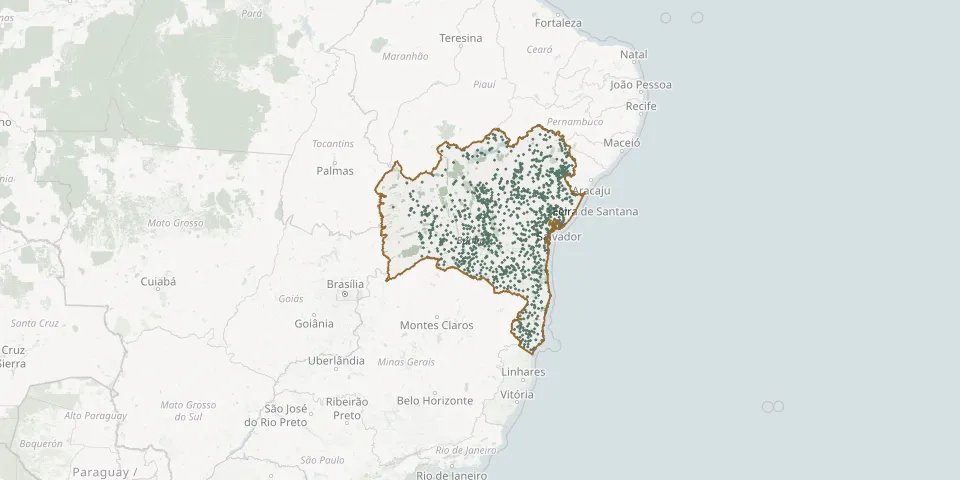 © OpenStreetMap
- Retiro CemeteryGPS coordinates: 10.05123° S, 39.68465° W
- Retiro CemeteryGPS coordinates: 14.59487° S, 39.06961° W
- Retiro District Municipal CemeteryGPS coordinates: 12.12718° S, 38.81070° W
- Retirolândia Municipal CemeteryGPS coordinates: 11.49832° S, 39.42602° W
- Reviver Park Cemetery, IlhéusGPS coordinates: 14.79757° S, 39.06831° W
- Riachão do Pintor CemeteryGPS coordinates: 11.62857° S, 45.02055° W
- Riachinho Municipal CemeteryGPS coordinates: 12.96468° S, 41.77654° W
- Riacho CemeteryGPS coordinates: 9.25745° S, 40.76228° W
- Riacho da Anta CemeteryGPS coordinates: 12.21066° S, 40.70142° W
- Riacho de Baixo CemeteryGPS coordinates: 13.60688° S, 43.24680° W
- Riacho de Santana Middle CemeteryGPS coordinates: 13.61562° S, 42.93186° W
- Riacho São José CemeteryGPS coordinates: 10.17696° S, 38.19482° W
- Riacho Seco Farm CemeteryGPS coordinates: 14.97440° S, 42.11317° W
- Riacho Village CemeteryGPS coordinates: 10.75400° S, 38.30701° W
- Ribeira do Amparo CemeteryGPS coordinates: 11.04010° S, 38.43101° W
- Ribeira do Pombal CemeteryGPS coordinates: 10.83455° S, 38.54090° W
- Ribeirão CemeteryGPS coordinates: 13.23071° S, 41.89197° W
- Ribeirão do Largo CemeteryGPS coordinates: 15.45770° S, 40.73767° W
- Rio de Contas CemeteryGPS coordinates: 13.58870° S, 41.81734° W
- Rio do Meio CemeteryGPS coordinates: 15.07317° S, 39.97993° W
- Rio Real Municipal CemeteryGPS coordinates: 11.48754° S, 37.93443° W
- Road to Cigana Cemetery, Várzea do PoçoGPS coordinates: 11.57241° S, 40.33961° W
- Road to Roçadinho Cemetery, SerrolândiaGPS coordinates: 11.37333° S, 40.31656° W
- Roçadinho CemeteryGPS coordinates: 11.14033° S, 42.06952° W
- Rodelas Municipal CemeteryGPS coordinates: 8.85056° S, 38.76943° W
- Roseira Village CemeteryGPS coordinates: 14.63672° S, 40.71608° W
- Rua Tancredo Neves Cemetery, Aurelino LealGPS coordinates: 14.32100° S, 39.32216° W
- Ruy Barbosa Municipal CemeteryGPS coordinates: 12.28746° S, 40.50504° W
- Saco da Jurema CemeteryGPS coordinates: 12.44381° S, 42.62838° W
- Saco Village Municipal Cemetery, Conceição de CampinasGPS coordinates: 10.74129° S, 37.96839° W