
Coquimbo Region
46 known cemeteries in Coquimbo Region, Chile.
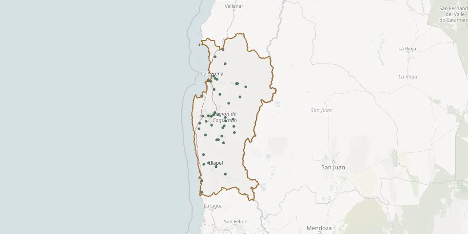 © OpenStreetMap
- Algarrobito CemeteryGPS coordinates: 29.94342° S, 71.14744° W
- Almirante Latorre CemeteryGPS coordinates: 29.63565° S, 70.96312° W
- Andacollo CemeteryGPS coordinates: 30.23244° S, 71.08209° W
- Atelcura CemeteryGPS coordinates: 31.56111° S, 71.33787° W
- Barraza CemeteryGPS coordinates: 30.65548° S, 71.46840° W
- Canela General CemeteryGPS coordinates: 31.39958° S, 71.45072° W
- Carén CemeteryGPS coordinates: 30.85598° S, 70.76880° W
- Chalinga CemeteryGPS coordinates: 30.75754° S, 71.39142° W
- Chañaral Alto Catholic CemeteryGPS coordinates: 30.88371° S, 71.01456° W
- Combarbalá Catholic CemeteryGPS coordinates: 31.17190° S, 71.00090° W
- Coquimbo CemeteryGPS coordinates: 29.96738° S, 71.33159° W
- Coquimbo English CemeteryGPS coordinates: 29.97211° S, 71.34497° W
- Coquimbo Park CemeteryGPS coordinates: 29.97951° S, 71.28614° W
- El Chañar CemeteryGPS coordinates: 30.28421° S, 70.63144° W
- El Palqui CemeteryGPS coordinates: 30.75020° S, 70.95499° W
- El Peñón CemeteryGPS coordinates: 30.14001° S, 71.21222° W
- El Soruco CemeteryGPS coordinates: 31.11173° S, 71.11383° W
- Guatulame CemeteryGPS coordinates: 30.84540° S, 70.98727° W
- Halcones CemeteryGPS coordinates: 30.79605° S, 71.53634° W
- Illapel Municipal CemeteryGPS coordinates: 31.63032° S, 71.17049° W
- La Chimba CemeteryGPS coordinates: 30.63109° S, 71.22469° W
- La Higuera CemeteryGPS coordinates: 29.50093° S, 71.18958° W
- La Ligua CemeteryGPS coordinates: 31.04504° S, 71.03820° W
- Las Compañías CemeteryGPS coordinates: 29.87478° S, 71.21826° W
- La Serena CemeteryGPS coordinates: 29.92406° S, 71.18830° W
- Las Lomas Monte Patria CemeteryGPS coordinates: 30.68267° S, 70.96065° W
- Los Vilos Municipal CemeteryGPS coordinates: 31.90241° S, 71.48817° W
- Mincha CemeteryGPS coordinates: 31.58486° S, 71.44546° W
- Monte Grande CemeteryGPS coordinates: 30.08952° S, 70.50032° W
- Ovalle CemeteryGPS coordinates: 30.58788° S, 71.19559° W