
Puntarenas
56 known cemeteries in Puntarenas, Costa Rica.
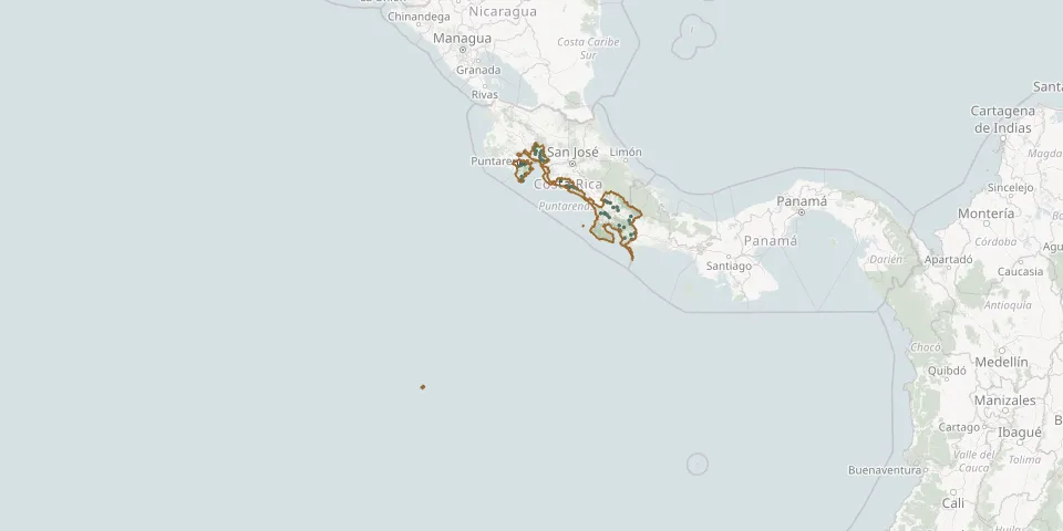 © OpenStreetMap
- Agua Buena CemeteryGPS coordinates: 8.75189° N, 82.94399° W
- Barranca CemeteryGPS coordinates: 9.99270° N, 84.72127° W
- Bolas CemeteryGPS coordinates: 9.08024° N, 83.21069° W
- Buenos Aires CemeteryGPS coordinates: 9.16282° N, 83.34481° W
- Cabuya Island CemeteryGPS coordinates: 9.59555° N, 85.08078° W
- Campos del Pacífico Cemetery, BarrancaGPS coordinates: 9.99695° N, 84.70497° W
- Cerrillos CemeteryGPS coordinates: 10.08275° N, 84.65132° W
- Ciudadela El Triunfo CemeteryGPS coordinates: 8.56657° N, 82.85937° W
- Cóbano CemeteryGPS coordinates: 9.68211° N, 85.09736° W
- Colorado CemeteryGPS coordinates: 8.53699° N, 82.93321° W
- Cortés CemeteryGPS coordinates: 8.95700° N, 83.53190° W
- Damas CemeteryGPS coordinates: 9.49214° N, 84.21219° W
- Delicias CemeteryGPS coordinates: 9.65380° N, 85.09311° W
- El Ángel CemeteryGPS coordinates: 9.19798° N, 83.42682° W
- Esparza Municipal CemeteryGPS coordinates: 9.99401° N, 84.67227° W
- Golfito CemeteryGPS coordinates: 8.62256° N, 83.15111° W
- Guacimal Municipal CemeteryGPS coordinates: 10.18903° N, 84.84766° W
- Gutiérrez Braun CemeteryGPS coordinates: 8.89602° N, 82.93348° W
- Jicaral CemeteryGPS coordinates: 9.95952° N, 85.10498° W
- La Esperanza CemeteryGPS coordinates: 8.47267° N, 83.05498° W
- La Guaria CemeteryGPS coordinates: 10.23873° N, 84.85345° W
- La Puerta del Sol CemeteryGPS coordinates: 8.88140° N, 83.36722° W
- Laurel CemeteryGPS coordinates: 8.44559° N, 82.91633° W
- Lepanto CemeteryGPS coordinates: 9.96018° N, 85.04452° W
- Londres CemeteryGPS coordinates: 9.46408° N, 84.06026° W
- Mal País CemeteryGPS coordinates: 9.60095° N, 85.14186° W
- Miramar CemeteryGPS coordinates: 10.08676° N, 84.73036° W
- Montaña Grande CemeteryGPS coordinates: 9.90890° N, 85.04216° W
- Monteverde CemeteryGPS coordinates: 10.31578° N, 84.82867° W
- Naranjito Quepos CemeteryGPS coordinates: 9.48227° N, 84.11286° W