
Baden-Württemberg
3,860 known cemeteries in Baden-Württemberg, Germany.
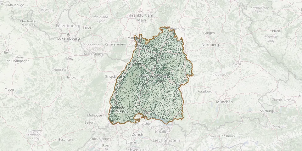 © OpenStreetMap
- Heudorf CemeteryGPS coordinates: 48.09040° N, 9.33077° E
- Heumaden CemeteryGPS coordinates: 48.71878° N, 8.76163° E
- Heumaden CemeteryGPS coordinates: 48.74734° N, 9.23475° E
- Heutensbach CemeteryGPS coordinates: 48.90969° N, 9.48645° E
- Heutingsheim CemeteryGPS coordinates: 48.92829° N, 9.17841° E
- Heuweiler CemeteryGPS coordinates: 48.05129° N, 7.90593° E
- Hierbach CemeteryGPS coordinates: 47.68676° N, 8.09342° E
- Hildrizhausen CemeteryGPS coordinates: 48.61874° N, 8.96782° E
- Hilgartshausen CemeteryGPS coordinates: 49.26722° N, 10.06759° E
- Hilpertsau CemeteryGPS coordinates: 48.74135° N, 8.35085° E
- Hilsbach CemeteryGPS coordinates: 49.19589° N, 8.86085° E
- Hilzingen CemeteryGPS coordinates: 47.76270° N, 8.79086° E
- Hindelwangen CemeteryGPS coordinates: 47.86169° N, 9.00137° E
- Hinter der ChurchyardGPS coordinates: 48.54393° N, 9.91902° E
- Hintersulgen CemeteryGPS coordinates: 48.21815° N, 8.42778° E
- Hintschingen CemeteryGPS coordinates: 47.92632° N, 8.70186° E
- Hinznang CemeteryGPS coordinates: 47.76983° N, 10.07699° E
- Hirrlingen CemeteryGPS coordinates: 48.41738° N, 8.88670° E
- Hirsau CemeteryGPS coordinates: 48.73853° N, 8.73709° E
- Hirschau CemeteryGPS coordinates: 48.50216° N, 9.00861° E
- Hirschau Mountain CemeteryGPS coordinates: 48.50632° N, 8.98176° E
- Hirschlanden CemeteryGPS coordinates: 49.47540° N, 9.50262° E
- Hirschlanden CemeteryGPS coordinates: 48.83792° N, 9.04118° E
- Hochberg CemeteryGPS coordinates: 47.98219° N, 9.53895° E
- Hochberg CemeteryGPS coordinates: 48.88608° N, 9.28036° E
- Hochberg CemeteryGPS coordinates: 48.15100° N, 9.24429° E
- Hochberg Jewish CemeteryGPS coordinates: 48.88269° N, 9.27858° E
- Hochdorf CemeteryGPS coordinates: 48.69513° N, 9.45998° E
- Hochdorf CemeteryGPS coordinates: 48.05351° N, 7.80135° E
- Hochdorf CemeteryGPS coordinates: 48.49514° N, 8.72918° E