
Baden-Württemberg
3,860 known cemeteries in Baden-Württemberg, Germany.
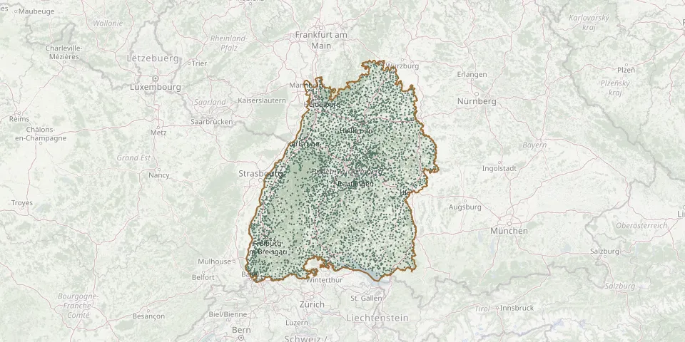 © OpenStreetMap
- RuheForst Paradies ObersulmGPS coordinates: 49.12221° N, 9.41830° E
- Ruheforst RickenbachGPS coordinates: 47.59173° N, 7.96884° E
- RuheForst SchriesheimGPS coordinates: 49.47972° N, 8.74273° E
- Ruheforst WeidenstettenGPS coordinates: 48.55751° N, 9.98511° E
- Ruheforst ZollerblickGPS coordinates: 48.36506° N, 8.92819° E
- Ruhehain BesenfeldGPS coordinates: 48.59970° N, 8.42667° E
- Ruhehain unter den EichenGPS coordinates: 49.36113° N, 8.93576° E
- Ruhestätte Familie von KirchbachGPS coordinates: 47.64909° N, 8.28989° E
- Ruhestätte Familie von NeuburgGPS coordinates: 48.57049° N, 9.22194° E
- Ruhewald am BrandenkopfGPS coordinates: 48.34999° N, 8.14924° E
- Ruhewald am LautenbachGPS coordinates: 48.24819° N, 7.87741° E
- Ruhewald BildtannGPS coordinates: 48.36842° N, 8.01181° E
- Ruhewald der Stadt Bad Teinach-ZavelsteinGPS coordinates: 48.70093° N, 8.68038° E
- Ruhewald der Stadt NagoldGPS coordinates: 48.54267° N, 8.70417° E
- Ruhewald Gottmadingen Abschnitt IGPS coordinates: 47.74105° N, 8.75669° E
- Ruhewald Gottmadingen Abschnitt IIGPS coordinates: 47.74193° N, 8.75470° E
- Ruhewald HäusernGPS coordinates: 47.76136° N, 8.15638° E
- Ruhewald HorbGPS coordinates: 48.42284° N, 8.69069° E
- Ruhewald HorheimGPS coordinates: 47.65221° N, 8.33120° E
- Ruhewald KapfenhardtGPS coordinates: 48.80803° N, 8.67401° E
- Ruhewald KlettgauGPS coordinates: 47.65006° N, 8.44694° E
- Ruhewald WittnauGPS coordinates: 47.93829° N, 7.82707° E
- Ruit CemeteryGPS coordinates: 48.73002° N, 9.25411° E
- Ruit CemeteryGPS coordinates: 49.00668° N, 8.72302° E
- Rulfingen CemeteryGPS coordinates: 48.02736° N, 9.29553° E
- Rümmingen CemeteryGPS coordinates: 47.64140° N, 7.64650° E
- Rupertshofen CemeteryGPS coordinates: 48.14660° N, 9.66406° E
- Ruppertshofen CemeteryGPS coordinates: 49.19282° N, 9.90968° E
- Rüppurr CemeteryGPS coordinates: 48.97090° N, 8.39962° E
- Rüsselhausen CemeteryGPS coordinates: 49.44282° N, 9.85583° E