
Saxony-Anhalt
1,609 known cemeteries in Saxony-Anhalt, Germany.
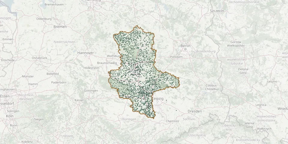 © OpenStreetMap
- Burkersroda CemeteryGPS coordinates: 51.17513° N, 11.64025° E
- Buro CemeteryGPS coordinates: 51.88026° N, 12.40583° E
- Burtschütz CemeteryGPS coordinates: 51.05380° N, 12.17663° E
- Buschkuhnsdorf CemeteryGPS coordinates: 51.81254° N, 13.14405° E
- Büste CemeteryGPS coordinates: 52.68954° N, 11.54157° E
- Calbe New CemeteryGPS coordinates: 51.89988° N, 11.76913° E
- Calenberge CemeteryGPS coordinates: 52.06394° N, 11.74085° E
- Calvörde-Berenbrock CemeteryGPS coordinates: 52.42022° N, 11.30837° E
- Calvörde CemeteryGPS coordinates: 52.39596° N, 11.28838° E
- Calvörde-Grauingen CemeteryGPS coordinates: 52.37712° N, 11.21962° E
- Calvörde Jewish CemeteryGPS coordinates: 52.38163° N, 11.29175° E
- Calvörde-Wegenstedt CemeteryGPS coordinates: 52.38825° N, 11.20398° E
- Cathedral of Saints Maurice and KatharinaGPS coordinates: 52.12470° N, 11.63450° E
- Cattenstedt CemeteryGPS coordinates: 51.77566° N, 10.97340° E
- Cheine CemeteryGPS coordinates: 52.87790° N, 11.06016° E
- Cheinitz CemeteryGPS coordinates: 52.70312° N, 11.25284° E
- Chörau CemeteryGPS coordinates: 51.81578° N, 12.11254° E
- Chüttlitz CemeteryGPS coordinates: 52.85705° N, 11.11126° E
- Cobbel CemeteryGPS coordinates: 52.39213° N, 11.85727° E
- CobbelsdorfGPS coordinates: 51.96102° N, 12.53576° E
- Colbitz Evangelical Parishes CemeteryGPS coordinates: 52.31975° N, 11.61264° E
- Cosa CemeteryGPS coordinates: 51.69641° N, 12.07331° E
- Coswig CemeteryGPS coordinates: 51.88175° N, 12.46850° E
- Cröchern CemeteryGPS coordinates: 52.38692° N, 11.65413° E
- Crola GräberGPS coordinates: 51.86262° N, 10.68249° E
- Cyriaci Cemetery, GröningenGPS coordinates: 51.92852° N, 11.21246° E
- Dabrun CemeteryGPS coordinates: 51.83605° N, 12.70530° E
- Dahlenwarsleben CemeteryGPS coordinates: 52.18948° N, 11.54068° E
- Dähre CemeteryGPS coordinates: 52.79573° N, 10.90935° E
- Dalchau CemeteryGPS coordinates: 52.11063° N, 11.99411° E