
Saxony
1,500 known cemeteries in Saxony, Germany.
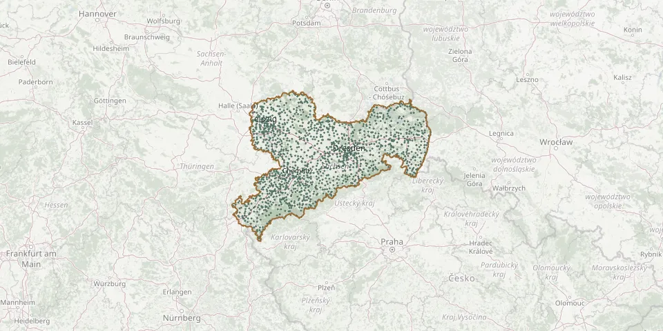 © OpenStreetMap
- Sachsendorf CemeteryGPS coordinates: 51.31700° N, 12.85864° E
- Sachsenfeld St. John CemeteryGPS coordinates: 50.54902° N, 12.78885° E
- Sacka CemeteryGPS coordinates: 51.27763° N, 13.79409° E
- Sadisdorf CemeteryGPS coordinates: 50.84231° N, 13.63604° E
- Sagar CemeteryGPS coordinates: 51.51550° N, 14.75605° E
- Sageritz Lower CemeteryGPS coordinates: 51.31817° N, 13.37994° E
- Sageritz Upper CemeteryGPS coordinates: 51.31946° N, 13.38211° E
- Saint Christophorus KircheGPS coordinates: 50.47955° N, 12.79409° E
- Salzenforst CemeteryGPS coordinates: 51.19935° N, 14.37000° E
- Sammelgrab der Opfer des Luftangriffs vom 19.04.1945GPS coordinates: 51.04236° N, 14.11688° E
- Sankt Blasius CemeteryGPS coordinates: 50.63182° N, 12.80873° E
- Saritsch CemeteryGPS coordinates: 51.23467° N, 14.33091° E
- Satzung CemeteryGPS coordinates: 50.52928° N, 13.19520° E
- Saupsdorf CemeteryGPS coordinates: 50.94250° N, 14.33074° E
- Sausedlitz CemeteryGPS coordinates: 51.57230° N, 12.42684° E
- Sayda Hospital CemeteryGPS coordinates: 50.70972° N, 13.42431° E
- Scheibenberg CemeteryGPS coordinates: 50.54324° N, 12.91535° E
- Schellenberg CemeteryGPS coordinates: 50.80620° N, 13.13042° E
- Schellerhau CemeteryGPS coordinates: 50.77678° N, 13.69030° E
- Schildau CemeteryGPS coordinates: 51.45283° N, 12.92241° E
- Schirmenitz CemeteryGPS coordinates: 51.39382° N, 13.18662° E
- Schkeitbar CemeteryGPS coordinates: 51.25490° N, 12.22100° E
- Schkeuditz Central CemeteryGPS coordinates: 51.39246° N, 12.24565° E
- Schleife CemeteryGPS coordinates: 51.54687° N, 14.53922° E
- Schleife Soviet War CemeteryGPS coordinates: 51.52875° N, 14.55253° E
- Schlema CemeteryGPS coordinates: 50.60940° N, 12.68136° E
- Schlettau CemeteryGPS coordinates: 50.55720° N, 12.94913° E
- Schlößchen CemeteryGPS coordinates: 50.73845° N, 13.04406° E
- Schlunzig CemeteryGPS coordinates: 50.79227° N, 12.49983° E
- Schmalzgrube CemeteryGPS coordinates: 50.53234° N, 13.12770° E