
Saxony
1,500 known cemeteries in Saxony, Germany.
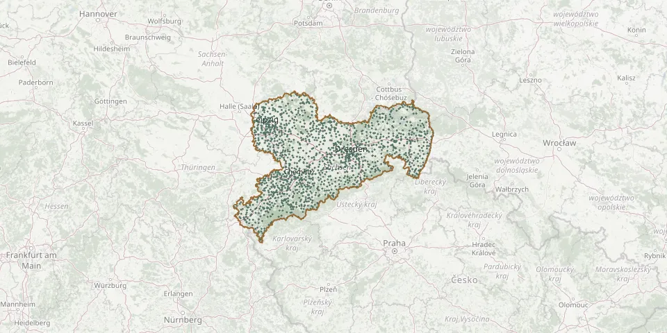 © OpenStreetMap
- Voigtsdorf CemeteryGPS coordinates: 50.75377° N, 13.39718° E
- Wachau CemeteryGPS coordinates: 51.27520° N, 12.43010° E
- Wachau CemeteryGPS coordinates: 51.15787° N, 13.90482° E
- Wahren CemeteryGPS coordinates: 51.37608° N, 12.31927° E
- Walda CemeteryGPS coordinates: 51.31995° N, 13.49414° E
- Walddorf Village Church and ChurchyardGPS coordinates: 50.99800° N, 14.63911° E
- Waldenburg CemeteryGPS coordinates: 50.86463° N, 12.61237° E
- Waldesruh CemeteryGPS coordinates: 51.44064° N, 14.10089° E
- Waldheimer CemeteryGPS coordinates: 51.07020° N, 13.02622° E
- Waldkirchen CemeteryGPS coordinates: 50.60116° N, 12.38015° E
- Waldkirchen CemeteryGPS coordinates: 50.76547° N, 13.12539° E
- Waldstraße CemeteryGPS coordinates: 51.33421° N, 12.62191° E
- Wallroda CemeteryGPS coordinates: 51.11289° N, 13.95543° E
- Walthersdorf CemeteryGPS coordinates: 50.54330° N, 12.95311° E
- Wantewitz CemeteryGPS coordinates: 51.23551° N, 13.49939° E
- Wechselburg CemeteryGPS coordinates: 51.00372° N, 12.78050° E
- Wehlitz CemeteryGPS coordinates: 51.39276° N, 12.20196° E
- Wehrsdorf CemeteryGPS coordinates: 51.05627° N, 14.38429° E
- Weiberdorf CemeteryGPS coordinates: 51.15536° N, 14.09024° E
- Weida ChurchyardGPS coordinates: 51.29875° N, 13.25033° E
- Weigersdorf CemeteryGPS coordinates: 51.25708° N, 14.65064° E
- Weigersdorf Old Lutheran CemeteryGPS coordinates: 51.26549° N, 14.64967° E
- Weigmannsdorf CemeteryGPS coordinates: 50.83912° N, 13.37970° E
- Weinböhla CemeteryGPS coordinates: 51.16047° N, 13.56901° E
- Weißbach CemeteryGPS coordinates: 50.73554° N, 13.01363° E
- Weißenberg CemeteryGPS coordinates: 51.19662° N, 14.65689° E
- Weißenberg Soviet CemeteryGPS coordinates: 51.19624° N, 14.66345° E
- Weißer Hirsch Woodland CemeteryGPS coordinates: 51.06340° N, 13.83170° E
- Weißig CemeteryGPS coordinates: 51.05952° N, 13.88702° E
- Weißkeißel CemeteryGPS coordinates: 51.50300° N, 14.71080° E