
Copán
16 known cemeteries in Copán, Honduras.
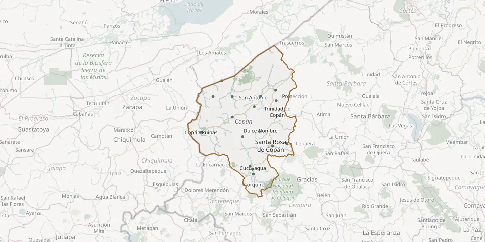 © OpenStreetMap
- Campo Santo Local CemeteryGPS coordinates: 15.10969° N, 89.04409° W
- Copán Ruinas General CemeteryGPS coordinates: 14.83853° N, 89.15948° W
- Cucuyagua Municipal CemeteryGPS coordinates: 14.64283° N, 88.87774° W
- Dulce Nombre General CemeteryGPS coordinates: 14.84322° N, 88.84033° W
- El Paraíso Municipal CemeteryGPS coordinates: 15.02614° N, 88.98718° W
- Florida Copán Municipal CemeteryGPS coordinates: 15.02807° N, 88.83318° W
- La Entrada Municipal CemeteryGPS coordinates: 15.05946° N, 88.75130° W
- La Unión CemeteryGPS coordinates: 14.65856° N, 88.89088° W
- Nueva Armenia CemeteryGPS coordinates: 15.02580° N, 89.09275° W
- Rio Amarillo CemeteryGPS coordinates: 14.91706° N, 88.98701° W
- salida a ort CemeteryGPS coordinates: 14.81599° N, 88.93155° W
- San Jeronimo Municipal Cemetery, Copán DepartmentGPS coordinates: 14.97189° N, 88.86835° W
- San Juan de Opoa Municipal CemeteryGPS coordinates: 14.77807° N, 88.68967° W
- San Nicolás General CemeteryGPS coordinates: 15.00399° N, 88.74849° W
- San Pedro Public CemeteryGPS coordinates: 14.61705° N, 88.87300° W
- Santa Rosa de Copán General CemeteryGPS coordinates: 14.76578° N, 88.76759° W