
Békés
143 known cemeteries in Békés, Hungary.
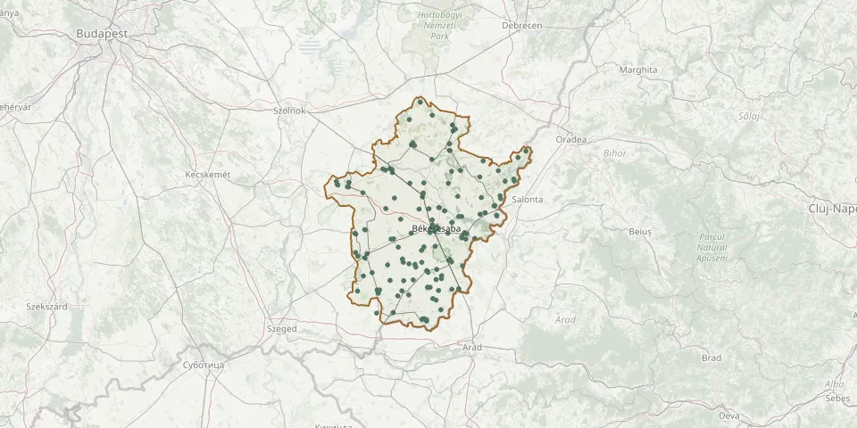 © OpenStreetMap
- Pusztaföldvár CemeteryGPS coordinates: 46.52458° N, 20.79728° E
- Sarkad Köröshát CemeteryGPS coordinates: 46.73930° N, 21.36693° E
- St. Anthony Cemetery, ÚjkígyósGPS coordinates: 46.58706° N, 21.00502° E
- Szabadkígyós CemeteryGPS coordinates: 46.60454° N, 21.08986° E
- Szarvas New CemeteryGPS coordinates: 46.85392° N, 20.55574° E
- Szarvas Orthodox Jewish CemeteryGPS coordinates: 46.85491° N, 20.55045° E
- Széchenyi Street Cemetery, FüzesgyarmatGPS coordinates: 47.11475° N, 21.19573° E
- Szeghalom CemeteryGPS coordinates: 47.00824° N, 21.18173° E
- Szentesi Road Cemetery, OrosházaGPS coordinates: 46.56196° N, 20.61435° E
- Sziget Church Cemetery, SarkadGPS coordinates: 46.74605° N, 21.39821° E
- Tabán Evangelical CemeteryGPS coordinates: 46.68531° N, 21.07308° E
- Táncsis Street Cemetery, NagykamarásGPS coordinates: 46.47941° N, 21.13121° E
- Tarhos CemeteryGPS coordinates: 46.81459° N, 21.22894° E
- Telekgerendás CemeteryGPS coordinates: 46.65944° N, 20.94250° E
- Toldi Street Cemetery, KétegyházaGPS coordinates: 46.54899° N, 21.17952° E
- Tótkomlós Old Evangelical CemeteryGPS coordinates: 46.40479° N, 20.73994° E
- Tótkomlós Roman Catholic CemeteryGPS coordinates: 46.41847° N, 20.74694° E
- Újkígyós Old CemeteryGPS coordinates: 46.60213° N, 21.01981° E
- Újszalonta CemeteryGPS coordinates: 46.80523° N, 21.49310° E
- Végegyháza CemeteryGPS coordinates: 46.39305° N, 20.85896° E
- Vésztő CemeteryGPS coordinates: 46.92461° N, 21.24565° E
- Zsadány CemeteryGPS coordinates: 46.92328° N, 21.47841° E
- Zsidó tetemtőGPS coordinates: 46.86314° N, 20.49146° E