
Łódź Voivodeship
732 known cemeteries in Łódź Voivodeship, Poland.
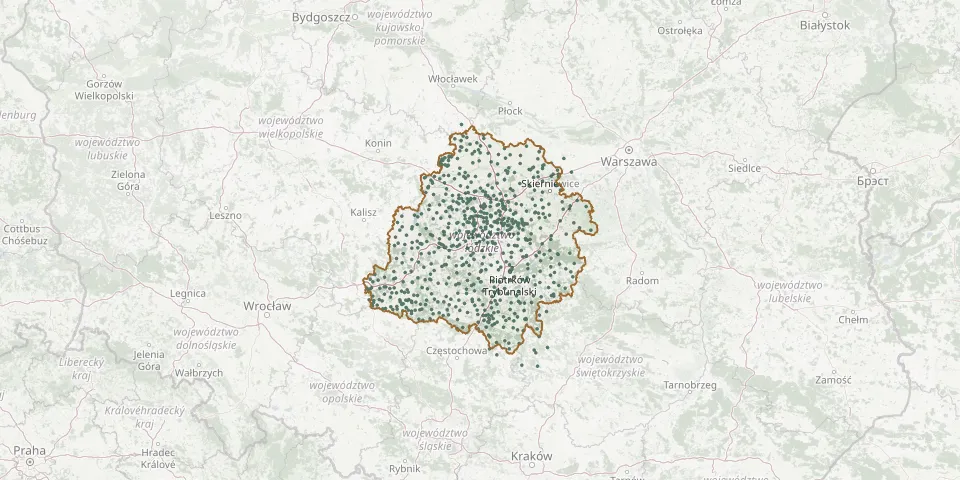 © OpenStreetMap
- Kudrowice Evangelical CemeteryGPS coordinates: 51.68464° N, 19.29341° E
- Kunice St. Lawrence Parish CemeteryGPS coordinates: 51.40466° N, 20.18602° E
- Kurnos Evangelical CemeteryGPS coordinates: 51.32370° N, 19.29992° E
- Kurów Parish CemeteryGPS coordinates: 51.21574° N, 18.48452° E
- Kutno Municipal Cemetery (Kuczków)GPS coordinates: 52.26359° N, 19.37295° E
- Kutno Municipal Cemetery (Łąkoszyn)GPS coordinates: 52.21767° N, 19.36792° E
- Łagiewniki Parish CemeteryGPS coordinates: 51.27668° N, 18.50555° E
- Łask New Jewish CemeteryGPS coordinates: 51.58270° N, 19.11557° E
- Łaskowice Evangelical Cemetery RemnantGPS coordinates: 51.71225° N, 19.37756° E
- Łaszów Parish CemeteryGPS coordinates: 51.14554° N, 18.65419° E
- Łaznów Catholic CemeteryGPS coordinates: 51.63243° N, 19.78611° E
- Łaznowska Wola Lutheran CemeteryGPS coordinates: 51.66533° N, 19.74042° E
- Łękawa Parish CemeteryGPS coordinates: 51.27731° N, 19.40073° E
- Łęki Kościelne Catholic CemeteryGPS coordinates: 52.15601° N, 19.48886° E
- Łękińsko Roman Catholic CemeteryGPS coordinates: 51.21704° N, 19.35304° E
- Łęki Szlacheckie CemeteryGPS coordinates: 51.19222° N, 19.80840° E
- Leosin Lutheran CemeteryGPS coordinates: 51.73676° N, 19.88522° E
- Lesiopole Lutheran CemeteryGPS coordinates: 51.20448° N, 19.78936° E
- Leśmierz CemeteryGPS coordinates: 52.01890° N, 19.27138° E
- Lewin Parish CemeteryGPS coordinates: 51.70828° N, 20.46027° E
- Leźnica Mała Municipal CemeteryGPS coordinates: 52.04076° N, 19.08530° E
- Lgota Wielka Roman Catholic CemeteryGPS coordinates: 51.14459° N, 19.33464° E
- Libiszów Parish CemeteryGPS coordinates: 51.42810° N, 20.31049° E
- Lipce ReymontowskieGPS coordinates: 51.90358° N, 19.94398° E
- Lipce Reymontowskie World War II Mass GraveGPS coordinates: 51.90365° N, 19.94264° E
- Lipianki Evangelical CemeteryGPS coordinates: 51.62413° N, 19.88916° E
- Lipianki Evangelical CemeteryGPS coordinates: 51.62737° N, 19.86892° E
- Lisowice-Kolonia Parish CemeteryGPS coordinates: 51.08556° N, 18.81972° E
- Łobudzice Evangelical CemeteryGPS coordinates: 51.73873° N, 19.02349° E
- Łobudzice Parish CemeteryGPS coordinates: 51.45121° N, 19.24837° E