
Łódź Voivodeship
732 known cemeteries in Łódź Voivodeship, Poland.
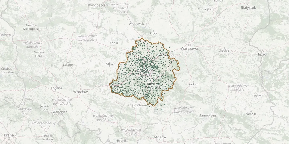 © OpenStreetMap
- Przedbórz Former Lutheran CemeteryGPS coordinates: 51.08199° N, 19.85923° E
- Przedbórz Jewish CemeteryGPS coordinates: 51.08630° N, 19.86901° E
- Przerąb Roman Catholic CemeteryGPS coordinates: 51.14917° N, 19.69976° E
- Pusta Wieś Evangelical CemeteryGPS coordinates: 52.13202° N, 19.01680° E
- Pustkowa Góra Evangelical CemeteryGPS coordinates: 51.90813° N, 19.26762° E
- Pustułka War CemeteryGPS coordinates: 51.76554° N, 19.72283° E
- Rąbień Ab Evangelical CemeteryGPS coordinates: 51.78278° N, 19.28989° E
- Rąbień Evangelical CemeteryGPS coordinates: 51.78945° N, 19.32162° E
- Raczyn Parish CemeteryGPS coordinates: 51.26585° N, 18.53772° E
- Radomsko Catholic CemeteryGPS coordinates: 51.07711° N, 19.47195° E
- Radomsko CemeteryGPS coordinates: 51.08863° N, 19.46405° E
- Radomsko Cholera CemeteryGPS coordinates: 51.07702° N, 19.41112° E
- Radomsko Jewish CemeteryGPS coordinates: 51.07967° N, 19.47310° E
- Radomsko Military CemeteryGPS coordinates: 51.02790° N, 19.43393° E
- Radostów Drugi Roman Catholic CemeteryGPS coordinates: 51.21030° N, 18.29272° E
- Radoszewice Roman Catholic CemeteryGPS coordinates: 51.25667° N, 18.83371° E
- Radzice Parish CemeteryGPS coordinates: 51.46497° N, 20.40006° E
- Radziechowice Drugie CemeteryGPS coordinates: 51.06168° N, 19.34804° E
- Rasy Evangelical CemeteryGPS coordinates: 51.41794° N, 19.38508° E
- Rawa Mazowiecka Multi-Faith CemeteryGPS coordinates: 51.75739° N, 20.24689° E
- Rochówek CemeteryGPS coordinates: 52.19388° N, 19.02734° E
- Rogowiec Former Evangelical CemeteryGPS coordinates: 51.27695° N, 19.30685° E
- Rogów Roman Catholic CemeteryGPS coordinates: 51.82173° N, 19.87968° E
- Rosocha Roman Catholic ChurchyardGPS coordinates: 51.58675° N, 19.77599° E
- Rossoszyca Roman Catholic CemeteryGPS coordinates: 51.70410° N, 18.77597° E
- Rozopol Jewish CemeteryGPS coordinates: 52.32316° N, 19.04683° E
- Rozprza Jewish CemeteryGPS coordinates: 51.29499° N, 19.63683° E
- Rozprza Parish CemeteryGPS coordinates: 51.29364° N, 19.63842° E
- Ruda Evangelical CemeteryGPS coordinates: 51.83697° N, 19.27725° E
- Ruda Jeżewska Evangelical CemeteryGPS coordinates: 51.82040° N, 18.99111° E