
Łódź Voivodeship
732 known cemeteries in Łódź Voivodeship, Poland.
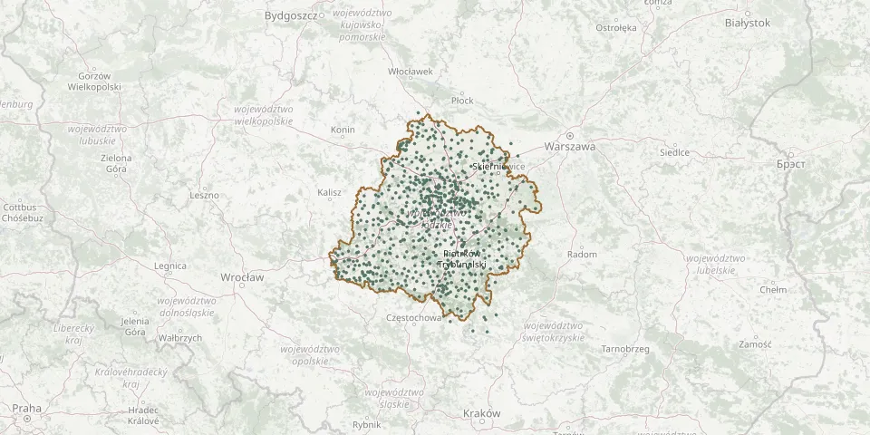 © OpenStreetMap
- Brzeziny Historic Jewish CemeteryGPS coordinates: 51.81000° N, 19.75337° E
- Brzeziny Lutheran CemeteryGPS coordinates: 51.81051° N, 19.76039° E
- Brzeźnio Roman Catholic CemeteryGPS coordinates: 51.49255° N, 18.61991° E
- Brzustów Parish CemeteryGPS coordinates: 51.50285° N, 20.15042° E
- Buczek CemeteryGPS coordinates: 51.50085° N, 19.16639° E
- Budy Grabskie War Cemetery 1914-1915GPS coordinates: 52.00023° N, 20.22896° E
- Budy Porajskie Lutheran CemeteryGPS coordinates: 51.26783° N, 19.52522° E
- Budzynek Parish CemeteryGPS coordinates: 51.93126° N, 19.13606° E
- Bugaj Evangelical CemeteryGPS coordinates: 51.83918° N, 19.22973° E
- Bujny St. Lawrence Parish CemeteryGPS coordinates: 51.36480° N, 19.63089° E
- Bukowiec CemeteryGPS coordinates: 51.82434° N, 19.57493° E
- Bukowiec Lutheran CemeteryGPS coordinates: 51.68998° N, 19.66871° E
- Burzenin Parish CemeteryGPS coordinates: 51.46360° N, 18.82988° E
- Chechło Evangelical and War CemeteryGPS coordinates: 51.64393° N, 19.28871° E
- Chełmo Roman Catholic CemeteryGPS coordinates: 51.07189° N, 19.74022° E
- Chlewo CemeteryGPS coordinates: 51.74471° N, 18.46001° E
- Chojnata Parish CemeteryGPS coordinates: 51.89457° N, 20.43401° E
- Chojne CemeteryGPS coordinates: 51.53666° N, 18.80891° E
- Chojny Parish CemeteryGPS coordinates: 51.33939° N, 18.52406° E
- Chorzęcin Old Cemetery of St. Margaret the Virgin and Martyr ParishGPS coordinates: 51.51931° N, 19.87839° E
- Chorzęcin Roadside Parish CemeteryGPS coordinates: 51.51640° N, 19.87512° E
- Chorzeszów Evangelical CemeteryGPS coordinates: 51.68918° N, 19.14072° E
- Chotów Former Cholera CemeteryGPS coordinates: 51.20321° N, 18.49428° E
- Chotów Parish CemeteryGPS coordinates: 51.20183° N, 18.49115° E
- Chróścin Old Roman Catholic CemeteryGPS coordinates: 51.17761° N, 18.18637° E
- Chrzanowice CemeteryGPS coordinates: 51.18584° N, 19.55159° E
- Chwalborzyce CemeteryGPS coordinates: 52.05711° N, 18.86570° E
- Cieszęcin CemeteryGPS coordinates: 51.34071° N, 18.18992° E
- Ciężkowice Roman Catholic CemeteryGPS coordinates: 50.92259° N, 19.54666° E
- Ciosny Lutheran CemeteryGPS coordinates: 51.63572° N, 19.86618° E