
Silesian Voivodeship
1,036 known cemeteries in Silesian Voivodeship, Poland.
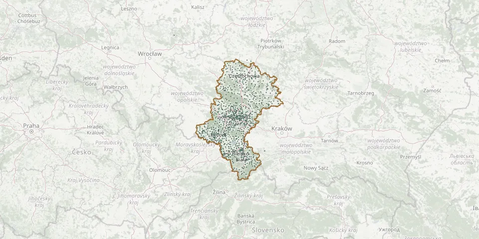 © OpenStreetMap
- Taciszów Roman Catholic CemeteryGPS coordinates: 50.36708° N, 18.53304° E
- Tąpkowice CemeteryGPS coordinates: 50.44737° N, 19.00505° E
- Targoszyce St. Nicholas Parish CemeteryGPS coordinates: 50.43318° N, 19.14541° E
- Tarnowskie Góry Jewish CemeteryGPS coordinates: 50.43672° N, 18.84765° E
- Tarnowskie Góry Jewish CemeteryGPS coordinates: 50.48666° N, 18.92470° E
- Tarnowskie Góry Municipal CemeteryGPS coordinates: 50.44049° N, 18.83851° E
- Tarnowskie Góry Municipal CemeteryGPS coordinates: 50.49422° N, 18.91789° E
- Tarnowskie Góry New Roman Catholic CemeteryGPS coordinates: 50.44265° N, 18.81851° E
- Tarnowskie Góry Roman Catholic CemeteryGPS coordinates: 50.47579° N, 18.80577° E
- Tarnowskie Góry Roman Catholic CemeteryGPS coordinates: 50.42648° N, 18.87016° E
- Tarnowskie Góry St. Joseph Parish CemeteryGPS coordinates: 50.44154° N, 18.83784° E
- Tarnowskie Góry War CemeteryGPS coordinates: 50.44106° N, 18.83975° E
- Topczewo CemeteryGPS coordinates: 52.84152° N, 22.89794° E
- Toszek Jewish CemeteryGPS coordinates: 50.45714° N, 18.53361° E
- Truskolasy CemeteryGPS coordinates: 50.86571° N, 18.83954° E
- Trynecki CemeteryGPS coordinates: 50.28139° N, 18.68372° E
- Trzebiesławice Parish CemeteryGPS coordinates: 50.43829° N, 19.24601° E
- Trzebinia Parish CemeteryGPS coordinates: 49.64799° N, 19.22452° E
- Turza Śląska Catholic CemeteryGPS coordinates: 49.96922° N, 18.44409° E
- Turze Parish CemeteryGPS coordinates: 50.19227° N, 18.26257° E
- Tworóg Municipal CemeteryGPS coordinates: 50.53668° N, 18.72420° E
- Tworóg Roman Catholic ChurchyardGPS coordinates: 50.53168° N, 18.72211° E
- Tychy Municipal Cemetery, Barwna StreetGPS coordinates: 50.08522° N, 19.05107° E
- Tychy Parish CemeteryGPS coordinates: 50.11412° N, 19.04957° E
- Ujsoły Parish CemeteryGPS coordinates: 49.47836° N, 19.14816° E
- Ustroń Jewish CemeteryGPS coordinates: 49.72715° N, 18.79428° E
- Ustroń Parish CemeteryGPS coordinates: 49.69039° N, 18.84417° E
- Ustroń St. Anne Parish CemeteryGPS coordinates: 49.76687° N, 18.80633° E
- Walczakula Evangelical CemeteryGPS coordinates: 49.67784° N, 18.96037° E
- Waleńczów Parish CemeteryGPS coordinates: 50.92563° N, 18.85452° E