
Graubünden
88 known cemeteries in Graubünden, Switzerland.
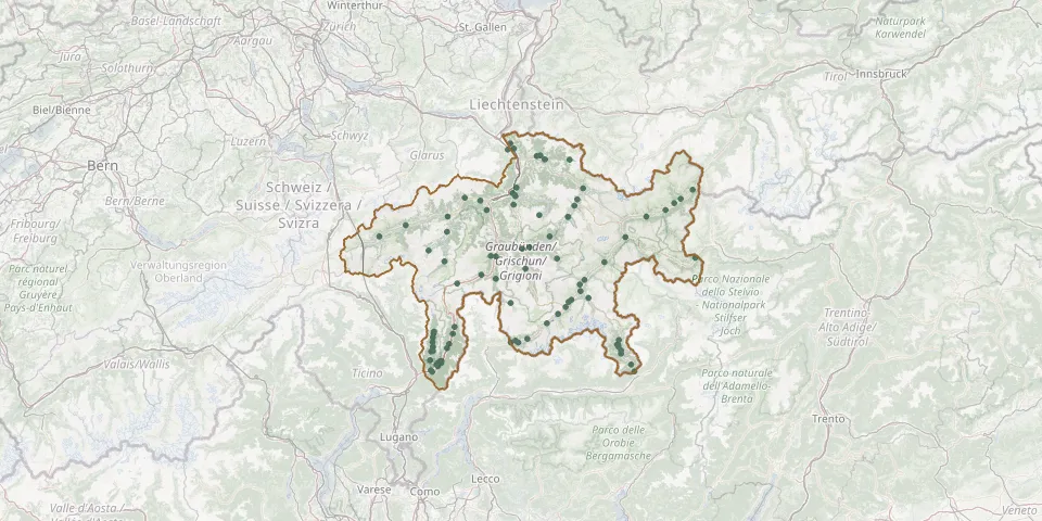 © OpenStreetMap
- Hof CemeteryGPS coordinates: 46.84768° N, 9.53538° E
- Bergün CemeteryGPS coordinates: 46.62666° N, 9.74949° E
- Malix CemeteryGPS coordinates: 46.81392° N, 9.53093° E
- San Gian CemeteryGPS coordinates: 46.51350° N, 9.86980° E
- Fläsch CemeteryGPS coordinates: 47.02572° N, 9.51382° E
- St. Martin Reformed Churchyard, Zillis-ReischenGPS coordinates: 46.63415° N, 9.44153° E
- Tiefencastel Saint Stefan Roman Catholic CemeteryGPS coordinates: 46.66135° N, 9.57508° E
- Ardez CemeteryGPS coordinates: 46.77227° N, 10.20339° E
- Arvigo CemeteryGPS coordinates: 46.30247° N, 9.11337° E
- Augio CemeteryGPS coordinates: 46.36597° N, 9.12615° E
- Ausserferrera CemeteryGPS coordinates: 46.55695° N, 9.44103° E
- Bad Ragaz CemeteryGPS coordinates: 47.00444° N, 9.50129° E
- BergkirchliGPS coordinates: 46.77707° N, 9.66042° E
- Bever Parish CemeteryGPS coordinates: 46.55220° N, 9.88910° E
- Bondo CemeteryGPS coordinates: 46.33416° N, 9.55430° E
- Borgonovo CemeteryGPS coordinates: 46.34631° N, 9.59995° E
- Braggio CemeteryGPS coordinates: 46.30350° N, 9.12175° E
- Brusio CemeteryGPS coordinates: 46.25752° N, 10.12612° E
- Buseno CemeteryGPS coordinates: 46.27282° N, 9.10757° E
- Cabbiolo CemeteryGPS coordinates: 46.32929° N, 9.20413° E
- Cama CemeteryGPS coordinates: 46.27031° N, 9.16696° E
- Campfer CemeteryGPS coordinates: 46.47612° N, 9.80805° E
- Campocologno CemeteryGPS coordinates: 46.23251° N, 10.14185° E
- Castaneda CemeteryGPS coordinates: 46.25703° N, 9.14053° E
- Castasegna CemeteryGPS coordinates: 46.33373° N, 9.51618° E
- Cauco CemeteryGPS coordinates: 46.33579° N, 9.11990° E
- Chaflur CemeteryGPS coordinates: 46.86486° N, 10.43745° E
- Chrea Cemetery, SchiersGPS coordinates: 46.97032° N, 9.68992° E
- Cimentero di PradaGPS coordinates: 46.30689° N, 10.07387° E
- Clavadel Jewish CemeteryGPS coordinates: 46.77103° N, 9.80522° E