
Derbyshire
319 known cemeteries in Derbyshire, United Kingdom.
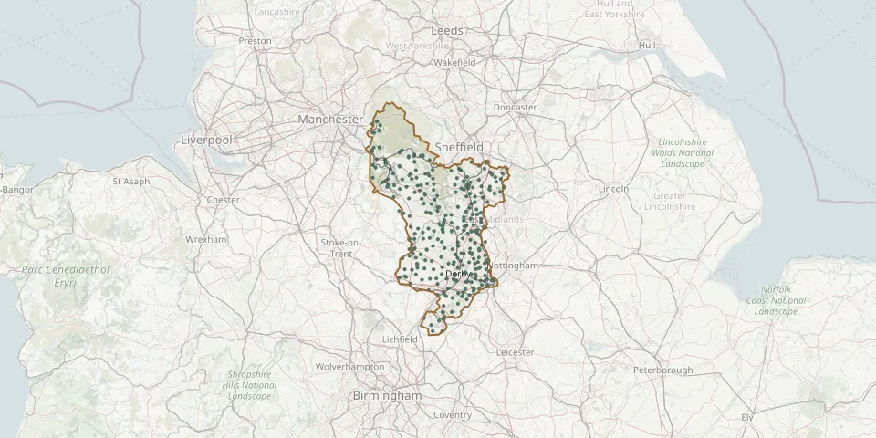 © OpenStreetMap
- Bolsover New CemeteryGPS coordinates: 53.22528° N, 1.28781° W
- Bradley Church CemeteryGPS coordinates: 53.00930° N, 1.66570° W
- Breaston, St. Michael ChurchyardGPS coordinates: 52.89697° N, 1.31762° W
- Castleton Burial GroundGPS coordinates: 53.34674° N, 1.77571° W
- Cemetery near AshbourneGPS coordinates: 53.09310° N, 1.76249° W
- Cemetery near MatlockGPS coordinates: 53.10731° N, 1.51785° W
- Chellaston CemeteryGPS coordinates: 52.86724° N, 1.43410° W
- Chesterfield (Holy Trinity) ChurchyardGPS coordinates: 53.24016° N, 1.42864° W
- Christ Church ChurchyardGPS coordinates: 53.24636° N, 1.42417° W
- Christ Church ChurchyardGPS coordinates: 53.02358° N, 1.62959° W
- Christ Church ChurchyardGPS coordinates: 53.06282° N, 1.35086° W
- Christ Church, WessingtonGPS coordinates: 53.11440° N, 1.44449° W
- Church of the Holy and Undivided Trinity, EdaleGPS coordinates: 53.36882° N, 1.81549° W
- Church Wilne CemeteryGPS coordinates: 52.88191° N, 1.33446° W
- Clay Cross CemeteryGPS coordinates: 53.16121° N, 1.40725° W
- Clifton (Holy Trinity) Churchyard ExtensionGPS coordinates: 52.99689° N, 1.75079° W
- Clowne CemeteryGPS coordinates: 53.28120° N, 1.27495° W
- Clowne St John the BaptistGPS coordinates: 53.27230° N, 1.25441° W
- Crosshill CemeteryGPS coordinates: 53.03297° N, 1.37646° W
- Cubley, St Andrew ChurchyardGPS coordinates: 52.93647° N, 1.75624° W
- Dale Abbey CemeteryGPS coordinates: 52.94301° N, 1.35058° W
- Dale Hill Natural Burial GroundGPS coordinates: 52.93952° N, 1.37053° W
- Darley Dale CemeteryGPS coordinates: 53.16295° N, 1.59362° W
- Doveridge Burial GroundGPS coordinates: 52.90919° N, 1.83158° W
- Draycott CemeteryGPS coordinates: 52.89789° N, 1.34273° W
- Duckmanton Church CemeteryGPS coordinates: 53.23878° N, 1.33812° W
- Edale Methodist ChapelGPS coordinates: 53.36010° N, 1.83150° W
- Elmton and Creswell CemeteryGPS coordinates: 53.26489° N, 1.22160° W
- Errwood Hall CemeteryGPS coordinates: 53.26979° N, 1.99193° W
- Fernilee Methodist ChurchGPS coordinates: 53.30727° N, 1.97529° W