
Shetland
63 known cemeteries in Shetland, United Kingdom.
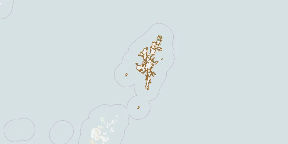 © OpenStreetMap
- Foula Cemetery and old KirkGPS coordinates: 60.11750° N, 2.06744° W
- Garth Old ChurchyardGPS coordinates: 60.26800° N, 1.15038° W
- Halligarth burial groundGPS coordinates: 60.76219° N, 0.85338° W
- Haroldswick burial groundGPS coordinates: 60.79211° N, 0.83398° W
- Hillswick CemeteryGPS coordinates: 60.47570° N, 1.49010° W
- Hillswick CemeteryGPS coordinates: 60.48173° N, 1.47646° W
- Huxter CemeteryGPS coordinates: 60.24379° N, 1.29304° W
- Ireland CemeteryGPS coordinates: 59.97897° N, 1.33284° W
- Isbister CemeteryGPS coordinates: 60.60068° N, 1.32291° W
- Kirkabister CemeteryGPS coordinates: 60.30359° N, 1.10436° W
- Kirk and Kirkyard, Biggings, Papa StourGPS coordinates: 60.32408° N, 1.68097° W
- Kirk Knowe, cemeteryGPS coordinates: 60.62340° N, 0.93451° W
- Mail cemeteryGPS coordinates: 60.03385° N, 1.22531° W
- Mail CemeteryGPS coordinates: 60.15040° N, 1.11378° W
- Mid-Yell Old ChurchyardGPS coordinates: 60.59883° N, 1.06250° W
- Muckle Roe CemeteryGPS coordinates: 60.36008° N, 1.39959° W
- Norwick CemeteryGPS coordinates: 60.80452° N, 0.80409° W
- Ollaberry CemeteryGPS coordinates: 60.50704° N, 1.33432° W
- Reafirth ChapelGPS coordinates: 60.59863° N, 1.06231° W
- Reawick Cemetery, ShetlandGPS coordinates: 60.18733° N, 1.43048° W
- Sandness New CemeteryGPS coordinates: 60.30202° N, 1.65634° W
- Sandvoe cemeteryGPS coordinates: 60.59925° N, 1.33800° W
- Sandwick Old ChurchyardGPS coordinates: 59.99655° N, 1.22592° W
- Sandwick Parish ChurchyardGPS coordinates: 59.99647° N, 1.22673° W
- Sound KirkyardGPS coordinates: 60.23305° N, 1.30840° W
- St Mary's Chapel (Sand)GPS coordinates: 60.20784° N, 1.37628° W
- St Olaf's ChurchGPS coordinates: 60.35450° N, 1.26801° W
- St. Olaf's ChurchyardGPS coordinates: 60.71582° N, 0.96317° W
- Vidlin GraveyardGPS coordinates: 60.36880° N, 1.13668° W
- West Sandwick burial groundGPS coordinates: 60.58050° N, 1.17656° W