
Florida
2,865 known cemeteries in Florida, United States.
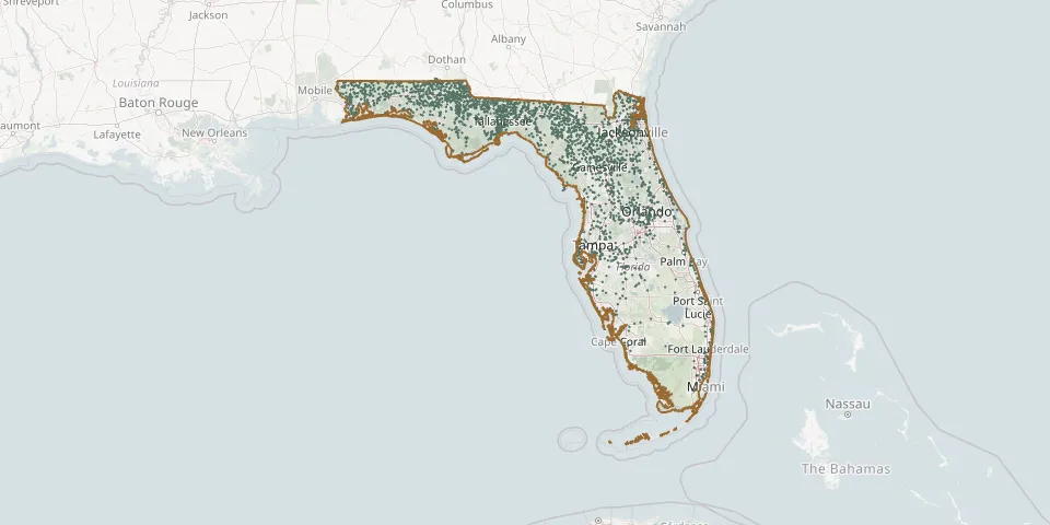 © OpenStreetMap
- Buckhorn CemeteryGPS coordinates: 30.18011° N, 85.19963° W
- Buckhorn CemeteryGPS coordinates: 30.87002° N, 85.20390° W
- Buckhorn Community CemeteryGPS coordinates: 30.07342° N, 84.45421° W
- Buckingham CemeteryGPS coordinates: 26.67121° N, 81.72833° W
- Budington CemeteryGPS coordinates: 30.05673° N, 81.87863° W
- Buford Grove CemeteryGPS coordinates: 30.73022° N, 81.94362° W
- Bullard CemeteryGPS coordinates: 30.96158° N, 86.77802° W
- Bunker CemeteryGPS coordinates: 30.38970° N, 86.08499° W
- Burke CemeteryGPS coordinates: 28.96987° N, 82.41000° W
- Burke Family CemeteryGPS coordinates: 30.51704° N, 85.19780° W
- Burke's Memorial GardensGPS coordinates: 30.62885° N, 85.87557° W
- Burleson Family CemeteryGPS coordinates: 29.40545° N, 82.08385° W
- Burney CemeteryGPS coordinates: 30.59877° N, 84.02679° W
- Burnham African American CemeteryGPS coordinates: 30.53390° N, 83.17224° W
- Burnham Church CemeteryGPS coordinates: 30.53361° N, 83.17279° W
- Burrell CemeteryGPS coordinates: 29.09605° N, 82.07916° W
- Bush CemeteryGPS coordinates: 27.46003° N, 80.33332° W
- Butler CemeteryGPS coordinates: 30.68680° N, 84.33445° W
- Butler CemeteryGPS coordinates: 29.52168° N, 83.25960° W
- Byrd CemeteryGPS coordinates: 30.51872° N, 83.87498° W
- Byrd CemeteryGPS coordinates: 30.50819° N, 83.02034° W
- Byrd-Parish CemeteryGPS coordinates: 30.53643° N, 83.99641° W
- Byrneville Methodist Church CemeteryGPS coordinates: 30.95633° N, 87.32971° W
- Caballero Rivero Dade South CemeteryGPS coordinates: 25.63599° N, 80.38369° W
- Caballero Rivero Palms Woodlawn CemeteryGPS coordinates: 25.51639° N, 80.43370° W
- Caballero Rivero Woodlawn West CemeteryGPS coordinates: 25.93761° N, 80.42858° W
- Callahan Community CemeteryGPS coordinates: 30.56864° N, 81.82448° W
- Callaway City CemeteryGPS coordinates: 30.14747° N, 85.59883° W
- Call Family CemeteryGPS coordinates: 30.45240° N, 84.28208° W
- Calvary Baptist CemeteryGPS coordinates: 30.78528° N, 87.09194° W