
Illinois
4,389 known cemeteries in Illinois, United States.
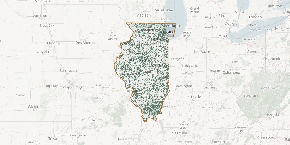 © OpenStreetMap
- Coopers Grove CemeteryGPS coordinates: 41.55476° N, 87.71894° W
- Cooperstown CemeteryGPS coordinates: 39.96370° N, 90.60044° W
- Copperras Creek CemeteryGPS coordinates: 39.29929° N, 88.48953° W
- Coral CemeteryGPS coordinates: 42.21393° N, 88.56139° W
- Cordova CemeteryGPS coordinates: 41.67684° N, 90.31323° W
- Cornell CemeteryGPS coordinates: 40.97471° N, 88.72819° W
- Corns CemeteryGPS coordinates: 41.26765° N, 90.67279° W
- Corss CemeteryGPS coordinates: 41.42011° N, 89.55872° W
- Cosner CemeteryGPS coordinates: 41.29560° N, 90.00720° W
- Cossel CemeteryGPS coordinates: 39.51420° N, 88.20254° W
- Cottage Grove CemeteryGPS coordinates: 37.74950° N, 88.41168° W
- Cotton CemeteryGPS coordinates: 41.23005° N, 88.26224° W
- Cotton CemeteryGPS coordinates: 38.82940° N, 87.70330° W
- Cotton CemeteryGPS coordinates: 37.99260° N, 89.48667° W
- Cotton Wood CemeteryGPS coordinates: 41.85330° N, 90.06440° W
- Cottonwood Presbyterian ChurchGPS coordinates: 37.88967° N, 88.21165° W
- Coulterville CemeteryGPS coordinates: 38.19286° N, 89.59624° W
- Council Hill CemeteryGPS coordinates: 42.49194° N, 90.34889° W
- Country Poor Farm CemeteryGPS coordinates: 40.09925° N, 87.66606° W
- County Farm CemeteryGPS coordinates: 40.41560° N, 89.00080° W
- County Farm CemeteryGPS coordinates: 41.99190° N, 89.33280° W
- County Farm CemeteryGPS coordinates: 37.97940° N, 88.90080° W
- County Farm CemeteryGPS coordinates: 41.04060° N, 89.86890° W
- County Home CemeteryGPS coordinates: 42.25912° N, 89.63100° W
- County Home CemeteryGPS coordinates: 41.35060° N, 89.53330° W
- County Line CemeteryGPS coordinates: 37.59739° N, 88.87508° W
- Cowsert CemeteryGPS coordinates: 37.45302° N, 88.38497° W
- Cox CemeteryGPS coordinates: 37.37046° N, 88.65224° W
- Cox CemeteryGPS coordinates: 40.24970° N, 90.78250° W
- Crab Orchard CemeteryGPS coordinates: 37.67733° N, 88.98472° W