
Ohio
6,701 known cemeteries in Ohio, United States.
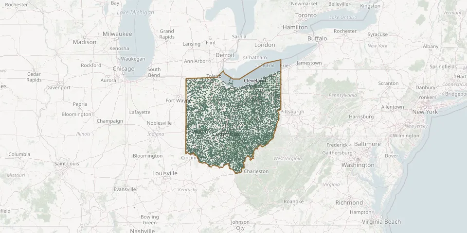 © OpenStreetMap
- Rock Creek CemeteryGPS coordinates: 41.06725° N, 83.09434° W
- Rock Hill Baptist Church CemeteryGPS coordinates: 40.13702° N, 81.10199° W
- Rock Hill CemeteryGPS coordinates: 40.03136° N, 80.78266° W
- Rockland CemeteryGPS coordinates: 39.28113° N, 81.61950° W
- Rockport CemeteryGPS coordinates: 40.87087° N, 84.00145° W
- Rock Run CemeteryGPS coordinates: 41.07804° N, 83.13215° W
- Rock Run CemeteryGPS coordinates: 40.82170° N, 83.22250° W
- Rock Spring CemeteryGPS coordinates: 39.92729° N, 81.80708° W
- Rock Springs CemeteryGPS coordinates: 39.05860° N, 82.02030° W
- Rockwell CemeteryGPS coordinates: 39.08750° N, 82.68110° W
- Rockwell CemeteryGPS coordinates: 38.89233° N, 83.10233° W
- Rockwood CemeteryGPS coordinates: 41.26582° N, 82.15719° W
- Rocky Fork CemeteryGPS coordinates: 40.15087° N, 82.30862° W
- Rocky Spring CemeteryGPS coordinates: 39.27940° N, 83.41170° W
- Rodgers McElwain CemeteryGPS coordinates: 39.41940° N, 83.37030° W
- Roebuck CemeteryGPS coordinates: 40.69194° N, 84.61107° W
- Roebuck CemeteryGPS coordinates: 40.63533° N, 84.54496° W
- Roger's CemeteryGPS coordinates: 41.64977° N, 84.79216° W
- Rogers CemeteryGPS coordinates: 38.85174° N, 82.83489° W
- Rogers CemeteryGPS coordinates: 38.70677° N, 82.66764° W
- Rogers CemeteryGPS coordinates: 39.41670° N, 83.37470° W
- Rogers CemeteryGPS coordinates: 39.10940° N, 83.65390° W
- Rohn CemeteryGPS coordinates: 41.29641° N, 84.26443° W
- Rolling Green Memorial CemeteryGPS coordinates: 41.55866° N, 81.33983° W
- Roman D Miller Farm CemeteryGPS coordinates: 40.51898° N, 81.74113° W
- Roman Raber Farm CemeteryGPS coordinates: 40.56829° N, 81.75264° W
- Rome Center CemeteryGPS coordinates: 41.60602° N, 80.85804° W
- Rome East CemeteryGPS coordinates: 40.92381° N, 82.53107° W
- Rome Presbyterian Church Civil War CemeteryGPS coordinates: 40.93137° N, 82.53831° W
- Rome Presbyterian Church Revolutionary War CemeteryGPS coordinates: 40.93186° N, 82.53661° W