
Ohio
6,701 known cemeteries in Ohio, United States.
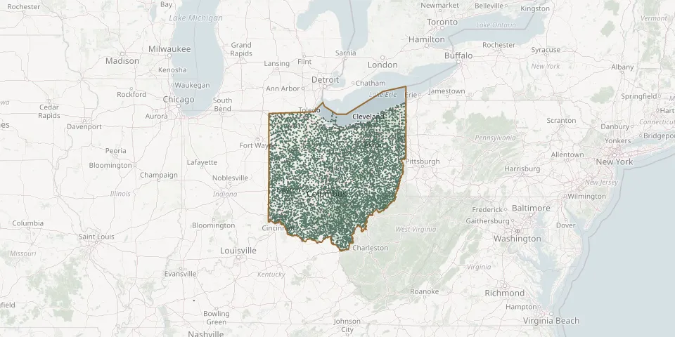 © OpenStreetMap
- Scipio Township CemeteryGPS coordinates: 41.09561° N, 83.00547° W
- Scipio Union CemeteryGPS coordinates: 39.39075° N, 84.81705° W
- Scotch Covenanter CemeteryGPS coordinates: 40.15720° N, 81.30140° W
- Scotch Ridge CemeteryGPS coordinates: 40.13035° N, 80.76064° W
- Scotch Settlement CemeteryGPS coordinates: 40.64016° N, 80.63909° W
- Scott CemeteryGPS coordinates: 40.98914° N, 84.59595° W
- Scott CemeteryGPS coordinates: 40.53857° N, 81.15612° W
- Scott CemeteryGPS coordinates: 39.27541° N, 84.68466° W
- Scott CemeteryGPS coordinates: 39.80610° N, 81.60720° W
- Scott CemeteryGPS coordinates: 39.66440° N, 81.21170° W
- Scott CemeteryGPS coordinates: 39.50065° N, 84.59668° W
- Scott CemeteryGPS coordinates: 40.49879° N, 84.20529° W
- Scott-Pullins CemeteryGPS coordinates: 40.18543° N, 83.81173° W
- Scotts CemeteryGPS coordinates: 41.35415° N, 82.60278° W
- Scotts Creek CemeteryGPS coordinates: 39.50280° N, 82.43890° W
- Scotts Ridge CemeteryGPS coordinates: 39.53785° N, 81.31373° W
- Scott Trinity CemeteryGPS coordinates: 41.27773° N, 83.35014° W
- Scranton Road CemeteryGPS coordinates: 41.47337° N, 81.69720° W
- Scroggsfield CemeteryGPS coordinates: 40.57478° N, 80.96530° W
- Scrub Ridge CemeteryGPS coordinates: 38.86641° N, 83.39165° W
- Sears CemeteryGPS coordinates: 39.62016° N, 84.13953° W
- Seceder CemeteryGPS coordinates: 40.17507° N, 80.79336° W
- Seceder CemeteryGPS coordinates: 39.94052° N, 82.79360° W
- Seceders CemeteryGPS coordinates: 40.53353° N, 81.14562° W
- Seceders Corners CemeteryGPS coordinates: 41.16207° N, 80.63495° W
- Second Creek CemeteryGPS coordinates: 39.31623° N, 83.95484° W
- Secrist-Tarres CemeteryGPS coordinates: 40.60737° N, 82.43720° W
- Seeds CemeteryGPS coordinates: 39.80881° N, 83.07477° W
- Seelig CemeteryGPS coordinates: 39.24190° N, 83.07280° W
- Seely CemeteryGPS coordinates: 41.21766° N, 80.73900° W