
Ohio
6,701 known cemeteries in Ohio, United States.
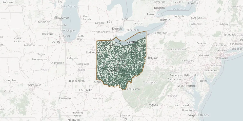 © OpenStreetMap
- Straight Creek Baptist CemeteryGPS coordinates: 38.93170° N, 83.81940° W
- Straight Creek CemeteryGPS coordinates: 39.11670° N, 82.89830° W
- Strain CemeteryGPS coordinates: 39.21030° N, 83.66280° W
- Strait Creek CemeteryGPS coordinates: 39.05769° N, 83.39618° W
- Strange CemeteryGPS coordinates: 39.19206° N, 83.73369° W
- Strawn CemeteryGPS coordinates: 39.47110° N, 82.47780° W
- Streetsboro CemeteryGPS coordinates: 41.23531° N, 81.34512° W
- Strickland CemeteryGPS coordinates: 40.79833° N, 82.30549° W
- Stringtown Quaker CemeteryGPS coordinates: 39.23562° N, 83.48853° W
- Strong CemeteryGPS coordinates: 40.51560° N, 82.61140° W
- Strongs Ridge CemeteryGPS coordinates: 41.28333° N, 82.78327° W
- Strongsville CemeteryGPS coordinates: 41.31863° N, 81.83296° W
- Stroup CemeteryGPS coordinates: 39.21940° N, 83.80140° W
- Stuckey CemeteryGPS coordinates: 39.63502° N, 82.55645° W
- Studebaker CemeteryGPS coordinates: 39.93093° N, 84.11090° W
- Stump CemeteryGPS coordinates: 39.85780° N, 84.69580° W
- Stumpf CemeteryGPS coordinates: 39.49690° N, 82.75670° W
- Sturm CemeteryGPS coordinates: 40.22750° N, 84.01920° W
- Success CemeteryGPS coordinates: 39.12923° N, 81.82696° W
- Suffield East Lawn CemeteryGPS coordinates: 41.02320° N, 81.34531° W
- Sugar Creek CemeteryGPS coordinates: 40.78914° N, 84.09977° W
- Sugar Creek CemeteryGPS coordinates: 41.43791° N, 83.32980° W
- Sugar Creek CemeteryGPS coordinates: 39.55539° N, 83.49174° W
- Sugar Creek CemeteryGPS coordinates: 38.54756° N, 82.62715° W
- Sugar Creek Methodist CemeteryGPS coordinates: 39.54865° N, 83.50972° W
- Sugar Creek Township CemeteryGPS coordinates: 40.72938° N, 81.66864° W
- Sugar Grove CemeteryGPS coordinates: 39.46606° N, 83.43408° W
- Sugar Grove CemeteryGPS coordinates: 39.44125° N, 83.83468° W
- Sugar Grove CemeteryGPS coordinates: 39.85396° N, 81.83680° W
- Sugar Grove CemeteryGPS coordinates: 40.51391° N, 80.65417° W