
Ohio
6,701 known cemeteries in Ohio, United States.
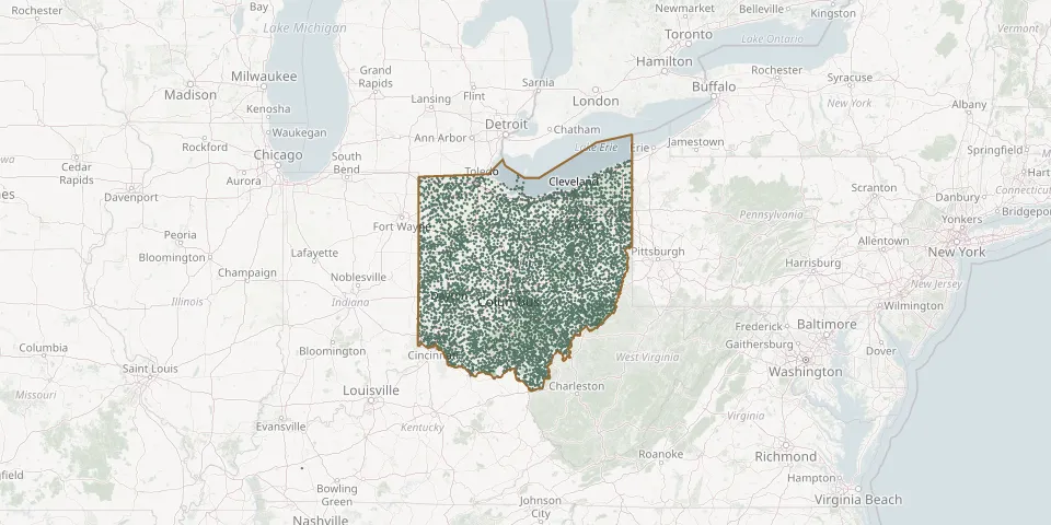 © OpenStreetMap
- Brown CemeteryGPS coordinates: 38.98895° N, 84.07966° W
- Brown CemeteryGPS coordinates: 39.89463° N, 84.59562° W
- Brown CemeteryGPS coordinates: 39.10060° N, 83.11030° W
- Brown CemeteryGPS coordinates: 41.57699° N, 81.31566° W
- Brownhelm CemeteryGPS coordinates: 41.38657° N, 82.30481° W
- Browning CemeteryGPS coordinates: 39.00557° N, 81.76848° W
- Brown Run CemeteryGPS coordinates: 39.61257° N, 84.45894° W
- Browns Chapel CemeteryGPS coordinates: 39.48756° N, 83.09748° W
- Browns Chapel CemeteryGPS coordinates: 38.99640° N, 83.88970° W
- Brownsville Methodist CemeteryGPS coordinates: 39.58841° N, 81.08372° W
- Brownsville United Presbyterian Church CemeteryGPS coordinates: 39.59000° N, 81.08667° W
- Brown-Tyler CemeteryGPS coordinates: 40.46470° N, 83.22280° W
- Brownwood CemeteryGPS coordinates: 41.46005° N, 80.87210° W
- Brucklacher CemeteryGPS coordinates: 40.68896° N, 82.94790° W
- Brundage CemeteryGPS coordinates: 40.99368° N, 83.11316° W
- Brunersburg CemeteryGPS coordinates: 41.30805° N, 84.38177° W
- Brunswick Center CemeteryGPS coordinates: 41.23951° N, 81.84301° W
- Brush CemeteryGPS coordinates: 38.94760° N, 82.39418° W
- Brush Creek CemeteryGPS coordinates: 38.86695° N, 83.40343° W
- Brush Creek CemeteryGPS coordinates: 39.86940° N, 81.98580° W
- Brushy Fork CemeteryGPS coordinates: 39.61500° N, 82.58720° W
- Brushy Fork CemeteryGPS coordinates: 40.04311° N, 82.26315° W
- Brust Number 2 CemeteryGPS coordinates: 39.05896° N, 82.95573° W
- Bryn Zion CemeteryGPS coordinates: 40.55692° N, 82.76799° W
- Brytes ChurchyardGPS coordinates: 40.91589° N, 82.38683° W
- Buchanan Presbyterian Church CemeteryGPS coordinates: 39.76785° N, 81.17983° W
- Buchman CemeteryGPS coordinates: 40.99256° N, 82.92420° W
- Buchtel CemeteryGPS coordinates: 39.46729° N, 82.19404° W
- Buck CemeteryGPS coordinates: 40.59502° N, 84.63341° W
- Buck CemeteryGPS coordinates: 41.42752° N, 84.42437° W