
Ohio
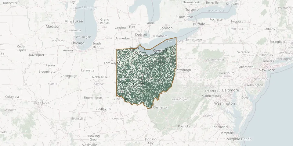
6,701 known cemeteries in Ohio, United States.
 © OpenStreetMap
- Carter CemeteryGPS coordinates: 39.37340° N, 82.20737° W
- Carthage CemeteryGPS coordinates: 39.25371° N, 81.90252° W
- Carthagena Black CemeteryGPS coordinates: 40.43603° N, 84.57124° W
- Cary CemeteryGPS coordinates: 39.47440° N, 82.02060° W
- Cascade CemeteryGPS coordinates: 41.01723° N, 84.28752° W
- Case CemeteryGPS coordinates: 39.79331° N, 80.89012° W
- Cassella CemeteryGPS coordinates: 40.40616° N, 84.55218° W
- Cassill CemeteryGPS coordinates: 39.20530° N, 82.53670° W
- Casstown CemeteryGPS coordinates: 40.04537° N, 84.13181° W
- Castalia CemeteryGPS coordinates: 41.39571° N, 82.80208° W
- Casterline CemeteryGPS coordinates: 41.32355° N, 80.72893° W
- Castor CemeteryGPS coordinates: 40.89195° N, 83.60465° W
- Castor CemeteryGPS coordinates: 39.13901° N, 82.29449° W
- Catawba Island CemeteryGPS coordinates: 41.55693° N, 82.83944° W
- Cedar CemeteryGPS coordinates: 39.01446° N, 82.72765° W
- Cedar Chapel CemeteryGPS coordinates: 39.07247° N, 83.42568° W
- Cedar Fork CemeteryGPS coordinates: 38.92340° N, 83.36269° W
- Cedar Grove CemeteryGPS coordinates: 39.52414° N, 83.23427° W
- Cedar Grove CemeteryGPS coordinates: 39.95389° N, 84.78750° W
- Cedar Grove CemeteryGPS coordinates: 41.24101° N, 81.56124° W
- Cedar Hill CemeteryGPS coordinates: 40.15207° N, 84.22434° W
- Cedar Hill CemeteryGPS coordinates: 40.06963° N, 82.38800° W
- Cedar Hill CemeteryGPS coordinates: 39.94481° N, 82.25320° W
- Cedar Hill CemeteryGPS coordinates: 39.53170° N, 81.66140° W
- Cedar Hill CemeteryGPS coordinates: 39.79760° N, 84.33801° W
- Cedar Point CemeteryGPS coordinates: 40.28240° N, 84.09916° W
- Cedarville Baptist CemeteryGPS coordinates: 39.73551° N, 83.78776° W
- Cedarville CemeteryGPS coordinates: 39.27712° N, 81.60798° W
- Cedarville North CemeteryGPS coordinates: 39.75473° N, 83.81207° W
- Cemetery 2, ElliottvilleGPS coordinates: 39.31510° N, 82.11700° W