
Ohio
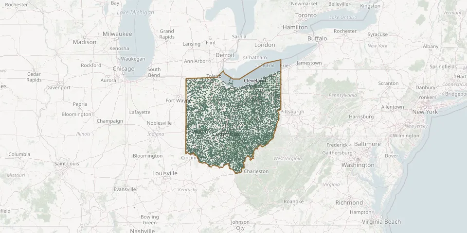
6,701 known cemeteries in Ohio, United States.
 © OpenStreetMap
- Daleyville CemeteryGPS coordinates: 39.10236° N, 83.06031° W
- Dalton CemeteryGPS coordinates: 40.79682° N, 81.69893° W
- Dalzell CemeteryGPS coordinates: 39.56381° N, 81.30479° W
- Damascus CemeteryGPS coordinates: 40.89946° N, 80.95126° W
- Damascus CemeteryGPS coordinates: 41.41750° N, 84.01830° W
- Dana CemeteryGPS coordinates: 41.32871° N, 83.05267° W
- Danford CemeteryGPS coordinates: 39.81190° N, 81.30390° W
- Danford CemeteryGPS coordinates: 39.66813° N, 81.58643° W
- Daniel H Raber Farm CemeteryGPS coordinates: 40.54765° N, 81.75827° W
- Daniel J Miller Farm CemeteryGPS coordinates: 40.59062° N, 81.78347° W
- Daniel Schlabach Farm CemeteryGPS coordinates: 40.57514° N, 81.77359° W
- Dapper CemeteryGPS coordinates: 40.82806° N, 82.78934° W
- Darby Creek CemeteryGPS coordinates: 40.30636° N, 83.58416° W
- Darby Township CemeteryGPS coordinates: 40.09845° N, 83.26214° W
- Darke County Childrens Home CemeteryGPS coordinates: 40.13612° N, 84.61929° W
- Darke County Home CemeteryGPS coordinates: 40.06644° N, 84.61837° W
- Darling Run CemeteryGPS coordinates: 40.34369° N, 82.05069° W
- Darrowville Maple Lawn CemeteryGPS coordinates: 41.19908° N, 81.43985° W
- Darrtown Pioneer CemeteryGPS coordinates: 39.49382° N, 84.67517° W
- Dart CemeteryGPS coordinates: 41.70471° N, 80.53738° W
- Daubert CemeteryGPS coordinates: 40.65521° N, 82.20155° W
- David J Yoder Farm CemeteryGPS coordinates: 40.51916° N, 81.83463° W
- David's CemeteryGPS coordinates: 39.67876° N, 84.16902° W
- Davidson CemeteryGPS coordinates: 40.44420° N, 80.88190° W
- Davis CemeteryGPS coordinates: 41.05976° N, 83.57322° W
- Davis CemeteryGPS coordinates: 39.47001° N, 83.39404° W
- Davis CemeteryGPS coordinates: 40.08392° N, 83.11003° W
- Davis CemeteryGPS coordinates: 40.70190° N, 80.76250° W
- Davis CemeteryGPS coordinates: 39.99577° N, 80.76732° W
- Dawes CemeteryGPS coordinates: 39.97572° N, 82.41336° W