
Ohio
6,701 known cemeteries in Ohio, United States.
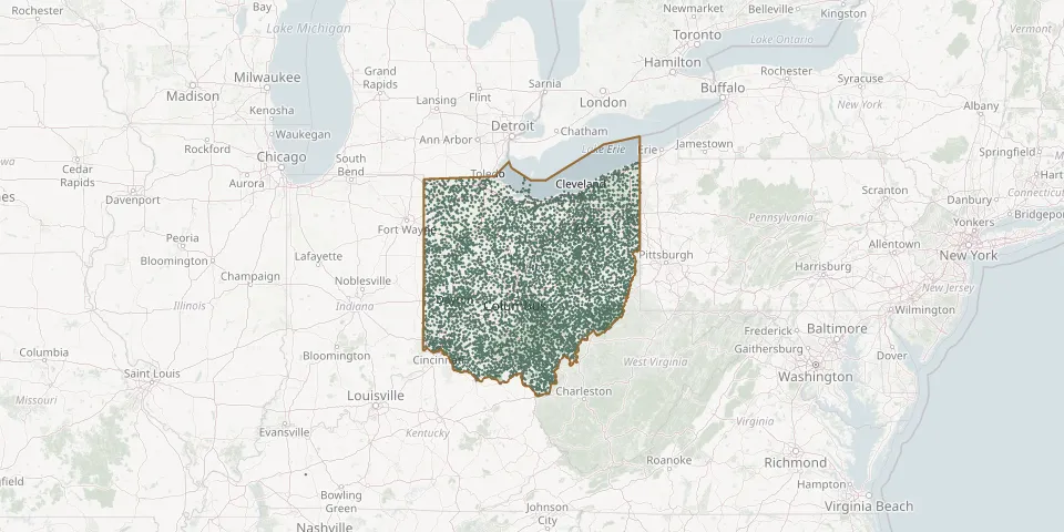 © OpenStreetMap
- Elyria Jewish CemeteryGPS coordinates: 41.36794° N, 82.18999° W
- Emanuel CemeteryGPS coordinates: 40.74171° N, 82.44872° W
- Emanuel CemeteryGPS coordinates: 40.12940° N, 84.70690° W
- Emanuel Lutheran Church CemeteryGPS coordinates: 40.43188° N, 84.09329° W
- Emanuel Lutheran Church CemeteryGPS coordinates: 39.74971° N, 82.54904° W
- Emanuel United Church of Christ CemeteryGPS coordinates: 41.19811° N, 84.15639° W
- Emanuel United Church of Christ CemeteryGPS coordinates: 40.98820° N, 81.68840° W
- Emanuel United Church of Christ CemeteryGPS coordinates: 40.78980° N, 83.20731° W
- Emerald Township CemeteryGPS coordinates: 41.19802° N, 84.53881° W
- Emery CemeteryGPS coordinates: 39.67870° N, 82.55800° W
- Emery CemeteryGPS coordinates: 39.66146° N, 81.72874° W
- Emery Chapel CemeteryGPS coordinates: 39.87497° N, 83.84245° W
- Emma Grove CemeteryGPS coordinates: 39.67140° N, 80.87530° W
- Emmanuel CemeteryGPS coordinates: 40.85845° N, 83.93729° W
- Emmanuel CemeteryGPS coordinates: 40.00771° N, 83.98001° W
- Emry CemeteryGPS coordinates: 39.10750° N, 83.67530° W
- England CemeteryGPS coordinates: 40.92110° N, 83.40030° W
- Engle CemeteryGPS coordinates: 40.20810° N, 81.38640° W
- English CemeteryGPS coordinates: 40.25016° N, 84.45940° W
- Enon CemeteryGPS coordinates: 39.88113° N, 83.92627° W
- Enon CemeteryGPS coordinates: 39.96310° N, 81.53830° W
- Enon Valley Presbyterian CemeteryGPS coordinates: 41.06854° N, 83.49085° W
- Enos Weaver Farm CemeteryGPS coordinates: 40.59079° N, 81.73019° W
- Enterprise CemeteryGPS coordinates: 39.70390° N, 84.50000° W
- Eppley CemeteryGPS coordinates: 39.74352° N, 81.95671° W
- Equality CemeteryGPS coordinates: 40.46294° N, 83.63954° W
- Erb CemeteryGPS coordinates: 40.78742° N, 81.80457° W
- Erb CemeteryGPS coordinates: 40.50470° N, 81.71980° W
- Erie County CemeteryGPS coordinates: 41.42006° N, 82.68968° W
- Erie Street CemeteryGPS coordinates: 41.49788° N, 81.68183° W