
Ohio
6,701 known cemeteries in Ohio, United States.
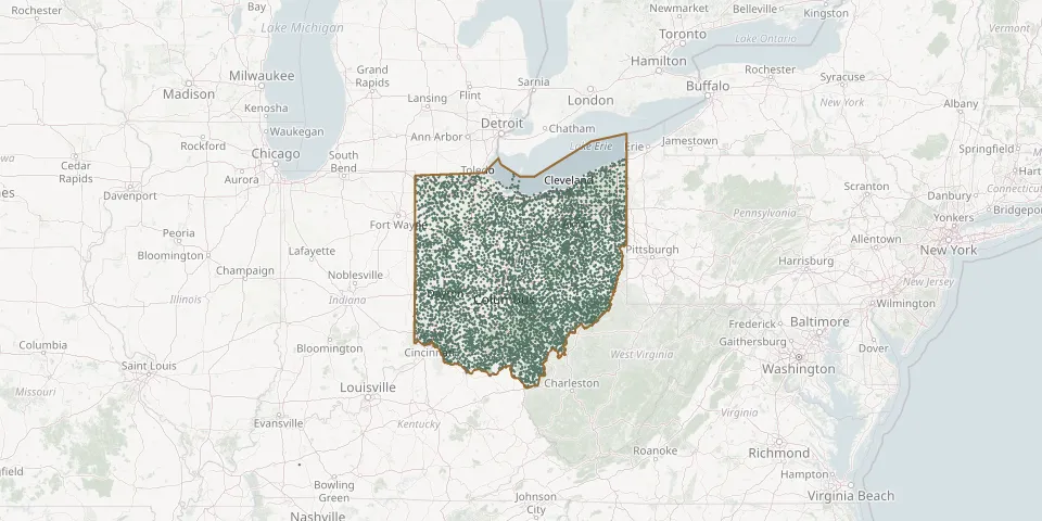 © OpenStreetMap
- Joseph H Miller Farm CemeteryGPS coordinates: 40.52046° N, 81.81294° W
- Joy CemeteryGPS coordinates: 41.34251° N, 80.98484° W
- Joy CemeteryGPS coordinates: 39.47639° N, 81.94160° W
- Joy CemeteryGPS coordinates: 41.66559° N, 83.65369° W
- Judah Touro CemeteryGPS coordinates: 39.11987° N, 84.58594° W
- Judd CemeteryGPS coordinates: 39.33979° N, 82.28154° W
- Julion CemeteryGPS coordinates: 40.55610° N, 84.25890° W
- Junction CemeteryGPS coordinates: 41.18766° N, 84.45839° W
- Justice CemeteryGPS coordinates: 39.41363° N, 82.60890° W
- Juterboch Farm CemeteryGPS coordinates: 39.32756° N, 84.24938° W
- Kagy CemeteryGPS coordinates: 41.04890° N, 83.16720° W
- Kahol CemeteryGPS coordinates: 41.27879° N, 84.35637° W
- Kampf CemeteryGPS coordinates: 41.05743° N, 83.49637° W
- Kapp-Gish CemeteryGPS coordinates: 40.86634° N, 81.80401° W
- Karshner CemeteryGPS coordinates: 39.44280° N, 82.66580° W
- Kaufman CemeteryGPS coordinates: 40.53404° N, 81.73887° W
- Kaylor Ridge CemeteryGPS coordinates: 40.55170° N, 82.16830° W
- K'burg CemeteryGPS coordinates: 41.55921° N, 82.84625° W
- Keebaugh CemeteryGPS coordinates: 39.13970° N, 81.93280° W
- Keenan CemeteryGPS coordinates: 39.07749° N, 82.55115° W
- Keen CemeteryGPS coordinates: 41.54170° N, 83.97140° W
- Keene Methodist CemeteryGPS coordinates: 40.34318° N, 81.86625° W
- Keene Old Presbyterian Church CemeteryGPS coordinates: 40.34807° N, 81.87079° W
- Keeton CemeteryGPS coordinates: 39.32338° N, 82.35923° W
- Keiper - Tuller CemeteryGPS coordinates: 41.28830° N, 81.03220° W
- Keirns CemeteryGPS coordinates: 40.88765° N, 84.21815° W
- Keiser CemeteryGPS coordinates: 40.99950° N, 81.39372° W
- Keiter CemeteryGPS coordinates: 39.56170° N, 83.88140° W
- Keith CemeteryGPS coordinates: 39.65518° N, 81.56121° W
- Keller CemeteryGPS coordinates: 40.92855° N, 83.72693° W