
Rhode Island
462 known cemeteries in Rhode Island, United States.
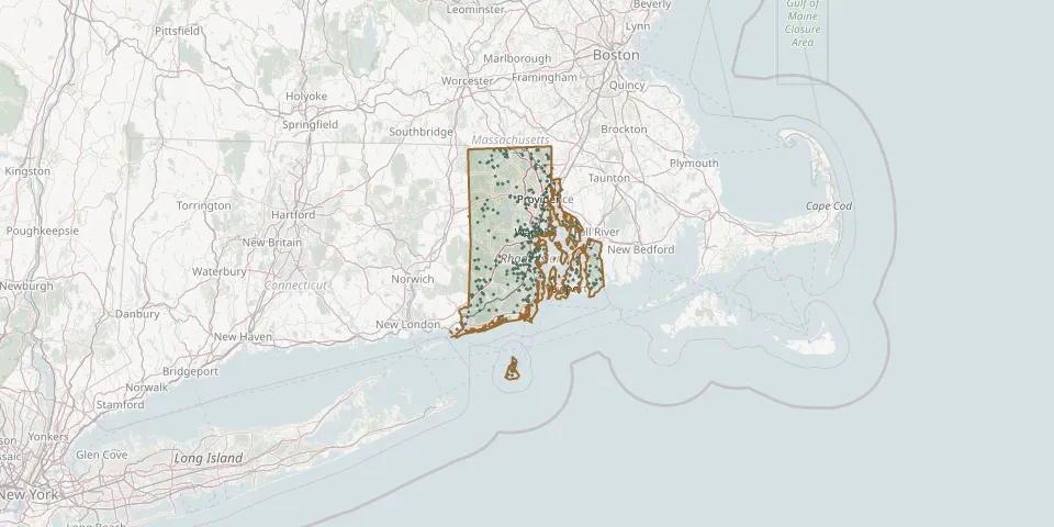 © OpenStreetMap
- Centerville Methodist CemeteryGPS coordinates: 41.69365° N, 71.52097° W
- Chace-Weeden CemeteryGPS coordinates: 41.59622° N, 71.45308° W
- Champlin LotGPS coordinates: 41.50260° N, 71.51839° W
- Charles Bennett LotGPS coordinates: 41.78843° N, 71.50931° W
- Chepachet CemeteryGPS coordinates: 41.90903° N, 71.66331° W
- Chestnut Hill CemeteryGPS coordinates: 41.58143° N, 71.55827° W
- Christ Church CemeteryGPS coordinates: 41.90708° N, 71.40214° W
- Christopher Green LotGPS coordinates: 41.73149° N, 71.39533° W
- Church of the Holy Cross CemeteryGPS coordinates: 41.85420° N, 71.33720° W
- Clarks CemeteryGPS coordinates: 41.94740° N, 71.46450° W
- Clifton Burying GroundGPS coordinates: 41.48306° N, 71.31089° W
- Coddington Burial GroundGPS coordinates: 41.49244° N, 71.31439° W
- Coggeshall CemeteryGPS coordinates: 41.46872° N, 71.30987° W
- Cole CemeteryGPS coordinates: 41.72930° N, 71.25597° W
- Colonel John Waterman LotGPS coordinates: 41.72177° N, 71.39644° W
- Col Royal Vaughan LotGPS coordinates: 41.60565° N, 71.45622° W
- Common Burying GroundGPS coordinates: 41.49566° N, 71.31602° W
- Congregational CemeteryGPS coordinates: 41.57085° N, 71.15843° W
- Congregational Church YardGPS coordinates: 41.46722° N, 71.46255° W
- Congregational Sons of Israel CemeteryGPS coordinates: 41.78774° N, 71.43374° W
- Cook CemeteryGPS coordinates: 41.99273° N, 71.48425° W
- Cooke - Thayer LotGPS coordinates: 42.00814° N, 71.64259° W
- Cottrell CemeteryGPS coordinates: 41.74220° N, 71.55040° W
- Cottrell-Green CemeteryGPS coordinates: 41.49080° N, 71.38949° W
- Crandall LotGPS coordinates: 41.57093° N, 71.75674° W
- Cross Mills CemeteryGPS coordinates: 41.38206° N, 71.64040° W
- Cumberland CemeteryGPS coordinates: 41.91331° N, 71.38796° W
- Davis CemeteryGPS coordinates: 41.62093° N, 71.48228° W
- Dawley-Brown LotGPS coordinates: 41.56066° N, 71.57645° W
- Dawley LotGPS coordinates: 41.56510° N, 71.55034° W